1953 Map of Damon
USGS Topo · Published 1954About this map
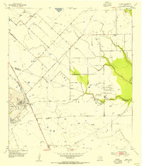
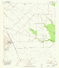
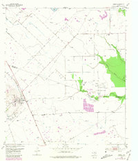
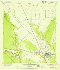
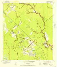
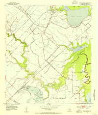
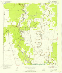
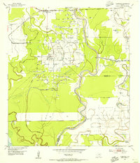
Damon Mound dominates the landscape on the Brazoria and Fort Bend county line, rising as a distinct salt dome formation above the surrounding coastal prairie. This 1953 survey captures the area during a period of significant petroleum extraction, evidenced by the extensive Nash Dome Oil Field and the Damon Mound Oil Field. The settlement of Damon sits at the foot of the mound, while the community at Nash Dome is surrounded by tanks and oil wells. Infrastructure follows the industrial needs of the era, featuring an Old Railroad Grade and numerous pipe lines crisscrossing the terrain. Rural education is still represented by the Woodrow School in the northeastern quadrant, serving the families working the land between Turkey Creek and Cow Creek. Drainage canals and ditches reflect the management of the low-lying plains near Pilant Lake and the Evaporating Pond.
Find a feature on this map
14 named features on this map. Tap any name to fly to it.
Don’t see what you’re looking for? This feature index may not catch every label — zoom into the map to look around manually.
Map Details
Editions of this 1953 Damon Map
3 editions found
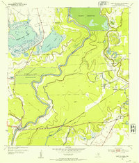
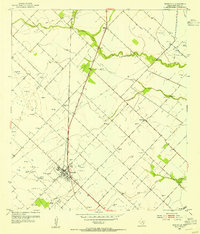
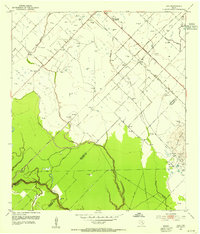
Other maps of this area

1950 · Houston
USGS Topo · 1:250,000
1952 · West Columbia
USGS Topo · 1:24,000
1952 · Danciger
USGS Topo · 1:24,000
1952 · East Columbia
USGS Topo · 1:24,000
1953 · Needville
USGS Topo · 1:24,000
1953 · Guy
USGS Topo · 1:24,000
1953 · Lake George
USGS Topo · 1:24,000
1953 · Otey
USGS Topo · 1:24,000
1953 · Thompsons
USGS Topo · 1:24,000

1956 · Houston
USGS Topo · 1:250,000