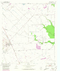
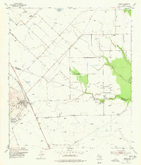
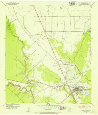
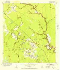
1953 Map of Damon
USGS Topo · Published 1981About this map
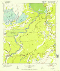
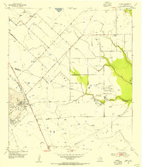
Damon Mound dominates this coastal prairie landscape, serving as the geologic anchor for a region defined by its mid-century petroleum industry. The 1953 survey captures the area at a high point of resource extraction, with the Damon Mound Oil Field and the Nash Dome Oil Field sprawling across the terrain. Dozens of oil wells, tanks, and a complex network of pipelines illustrate the industrial footprint that reshaped the rural landscape near the Fort Bend and Brazoria county line.
Find a feature on this map
28 named features on this map. Tap any name to fly to it.
Don’t see what you’re looking for? This feature index may not catch every label — zoom into the map to look around manually.
Map Details
Editions of this 1953 Damon Map
3 editions found
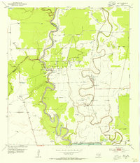
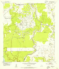
Other maps of this area

1950 · Houston
USGS Topo · 1:250,000
1952 · West Columbia
USGS Topo · 1:24,000
1952 · Danciger
USGS Topo · 1:24,000
1952 · East Columbia
USGS Topo · 1:24,000
1953 · Needville
USGS Topo · 1:24,000
1953 · Guy
USGS Topo · 1:24,000
1953 · Lake George
USGS Topo · 1:24,000
1953 · Damon
USGS Topo · 1:24,000
1953 · Otey
USGS Topo · 1:24,000
1953 · Thompsons
USGS Topo · 1:24,000