
1952 Map of West Columbia
USGS Topo · Published 1952About this map
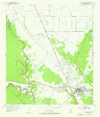
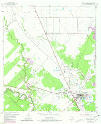
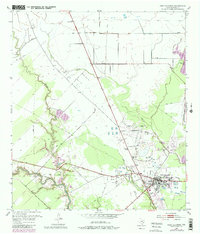
West Columbia sits at the heart of this coastal prairie landscape, its local economy and geography defined by the extensive West Columbia Oil Field. The 1952 environment is heavily marked by industrial infrastructure, featuring a large Tank Farm and numerous Oil Tanks connected by a network of Pipe Lines. This industrial presence contrasts with the winding natural drainage of the San Bernard River and its tributaries, including Mound Creek and Varner Creek. Significant man-made modifications to the terrain are visible through a series of Levees designed to manage the low-lying wetlands. For the genealogist or local historian, the map preserves the location of St Paul Ch and small clusters of dwellings that once served the oil industry and surrounding rural landscape just west of Eagle Nest Lake.
Find a feature on this map
12 named features on this map. Tap any name to fly to it.
Don’t see what you’re looking for? This feature index may not catch every label — zoom into the map to look around manually.
Map Details
Editions of this 1952 West Columbia Map
4 editions found
Other maps of this area

1950 · Houston
USGS Topo · 1:250,000

1952 · Sweeny
USGS Topo · 1:24,000

1952 · Danciger
USGS Topo · 1:24,000

1952 · Ashwood
USGS Topo · 1:24,000

1952 · East Columbia
USGS Topo · 1:24,000

1952 · Brazoria
USGS Topo · 1:24,000

1953 · Guy
USGS Topo · 1:24,000

1953 · Damon
USGS Topo · 1:24,000

1953 · Otey
USGS Topo · 1:24,000

1956 · Houston
USGS Topo · 1:250,000