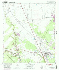
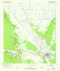
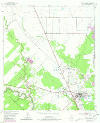
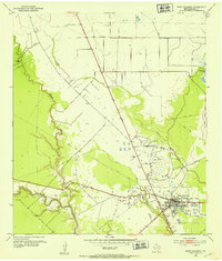
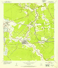
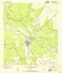
1952 Map of West Columbia
USGS Topo · Published 1981About this map
The West Columbia Oil Field dominates the industrial landscape of this Brazoria County region, where an extensive network of pipelines and Oil Tanks reflects the mid-century petroleum economy. At the heart of the area, West Columbia sits just south of the Varner-Hogg State Park, a site of significant local heritage and land use history. The natural geography is defined by the winding course of the San Bernard River and its various tributaries, including Mound Creek and Varner Creek.
Find a feature on this map
14 named features on this map. Tap any name to fly to it.
Don’t see what you’re looking for? This feature index may not catch every label — zoom into the map to look around manually.
Map Details
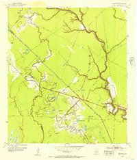
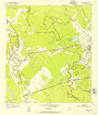
Editions of this 1952 West Columbia Map
4 editions found
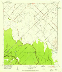
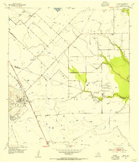
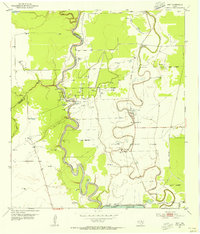
Other maps of this area

1950 · Houston
USGS Topo · 1:250,000
1952 · West Columbia
USGS Topo · 1:24,000
1952 · Sweeny
USGS Topo · 1:24,000
1952 · Danciger
USGS Topo · 1:24,000
1952 · Ashwood
USGS Topo · 1:24,000
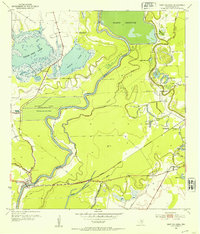
1952 · East Columbia
USGS Topo · 1:24,000
1952 · Brazoria
USGS Topo · 1:24,000
1953 · Guy
USGS Topo · 1:24,000
1953 · Damon
USGS Topo · 1:24,000
1953 · Otey
USGS Topo · 1:24,000