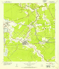
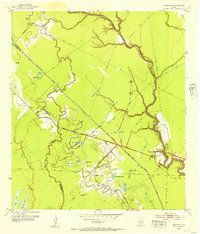
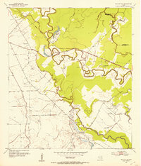
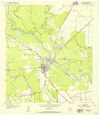
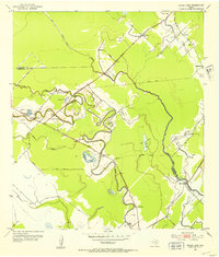
1952 Map of Sweeny
USGS Topo · Published 1952About this map
Industrial infrastructure and the bend of the San Bernard River define the landscape of Brazoria County in the early 1950s. The town of Sweeny serves as a hub for the region's energy economy, flanked by the massive Old Ocean Field to the west. This area exhibits a dense network of Pipe Lines and a massive Oil Refinery complex at Old Ocean, complete with its own Tank Farm and Spoil Bank along the Salt Water Canal.
Find a feature on this map
19 named features on this map. Tap any name to fly to it.
Don’t see what you’re looking for? This feature index may not catch every label — zoom into the map to look around manually.
Map Details
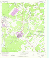
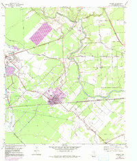
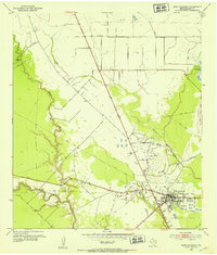
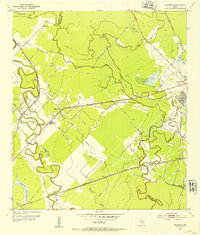
Editions of this 1952 Sweeny Map
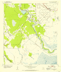
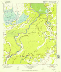
Other maps of this area

1950 · Houston
USGS Topo · 1:250,000

1951 · Bay City
USGS Topo · 1:250,000
1952 · West Columbia
USGS Topo · 1:24,000
1952 · Danciger
USGS Topo · 1:24,000
1952 · Ashwood
USGS Topo · 1:24,000
1952 · Cedar Lane NE
USGS Topo · 1:24,000
1952 · East Columbia
USGS Topo · 1:24,000
1952 · Bay City NE
USGS Topo · 1:24,000
1952 · Brazoria
USGS Topo · 1:24,000
1952 · Cedar Lane
USGS Topo · 1:24,000