
1952 Map of Cedar Lane
USGS Topo · Published 1953About this map
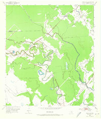
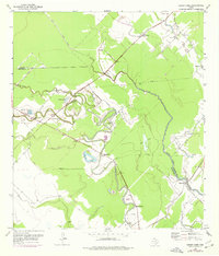
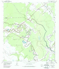
The sinuous bends of Caney Creek and Caney Bayou define this coastal Texas landscape, where early 1950s settlement follows the winding waterways and improved roads. Small communities and rural gathering points such as Cedar Lane and Linnville serve as anchors for the surrounding agricultural land. The map reveals a network of social foundations, from the Jaden Cem to various rural institutions like St Paul Ch and Kennedy Sch, reflecting the dispersed but organized settlement pattern of the Matagorda and Brazoria county line.
Find a feature on this map
27 named features on this map. Tap any name to fly to it.
Don’t see what you’re looking for? This feature index may not catch every label — zoom into the map to look around manually.
Map Details
Editions of this 1952 Cedar Lane Map
4 editions found
Other maps of this area

1950 · Houston
USGS Topo · 1:250,000

1951 · Bay City
USGS Topo · 1:250,000

1952 · Sweeny
USGS Topo · 1:24,000

1952 · Ashwood
USGS Topo · 1:24,000

1952 · Lake Austin
USGS Topo · 1:24,000

1952 · Cedar Lane NE
USGS Topo · 1:24,000

1952 · Cedar Lakes West
USGS Topo · 1:24,000

1952 · Bay City NE
USGS Topo · 1:24,000

1952 · Brazoria
USGS Topo · 1:24,000

1952 · Sargent
USGS Topo · 1:24,000