
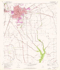
1951 Map of Bay City
USGS Topo · Published 1951About this map
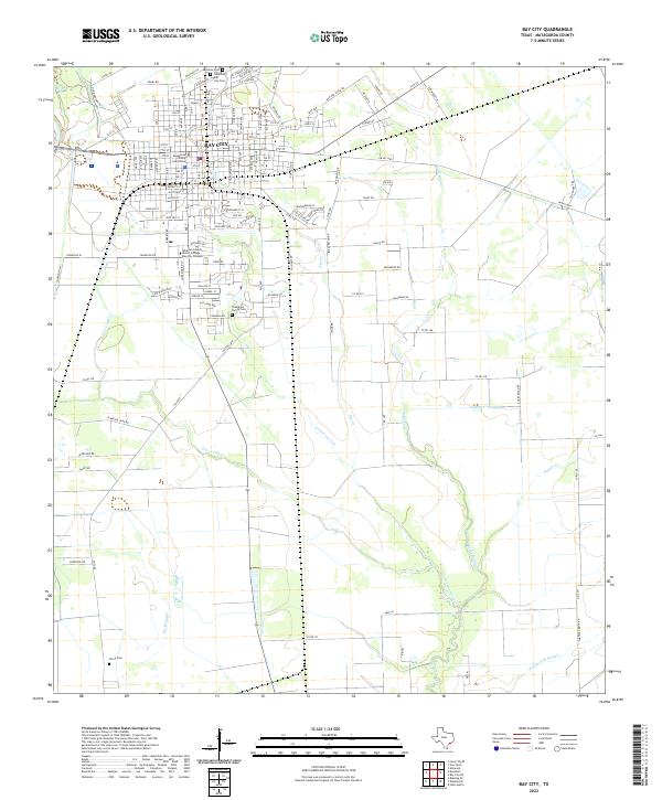
Bay City serves as the inland anchor for this coastal Texas survey, which captures the complex hydrologic and industrial landscape of the mid-20th century Gulf Coast. The transition from agricultural reaches along Caney Creek to the industrial centers of Freeport and Velasco is evident, highlighted by the presence of a Refinery near the mouth of the Brazos River. Transport networks are vital here, with the St L B & M railroad connecting small communities like Wadsworth and Rymers to the larger markets, while the Intracoastal Waterway cuts a straight path behind the protective Matagorda Peninsula. For the genealogist or local historian, the map preserves the location of many smaller settlements such as Hawkinsville, Sargent, and Mangun, as well as numerous coastal water bodies like Lake Austin and Cedar Lake that define the regional geography.
Find a feature on this map
50 named features on this map. Tap any name to fly to it.
Don’t see what you’re looking for? This feature index may not catch every label — zoom into the map to look around manually.
Map Details
Editions of this 1951 Bay City Map
This is the sole edition of this map. No revisions or reprints were ever made.
Historical Maps of Galveston Through Time
10 maps found
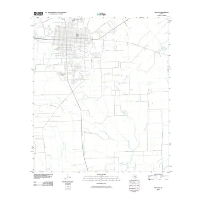
1951 Bay City
Matagorda County, TX
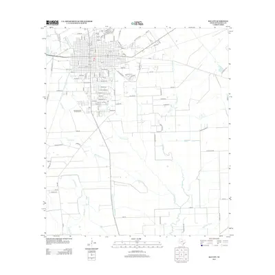
1952 Bay City
Matagorda County, TX
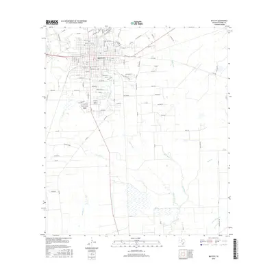
1956 Bay City
Matagorda County, TX
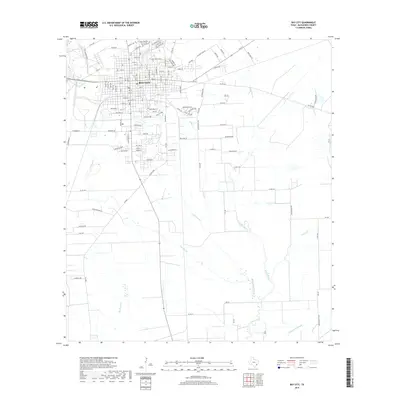
1958 Bay City
Matagorda County, TX
1974 Bay City
Matagorda County, TX
2010 Bay City
Matagorda County, TX
2013 Bay City
Matagorda County, TX
2016 Bay City
Matagorda County, TX
2019 Bay City
Matagorda County, TX
2022 Bay City
Matagorda County, TX