
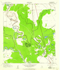
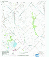
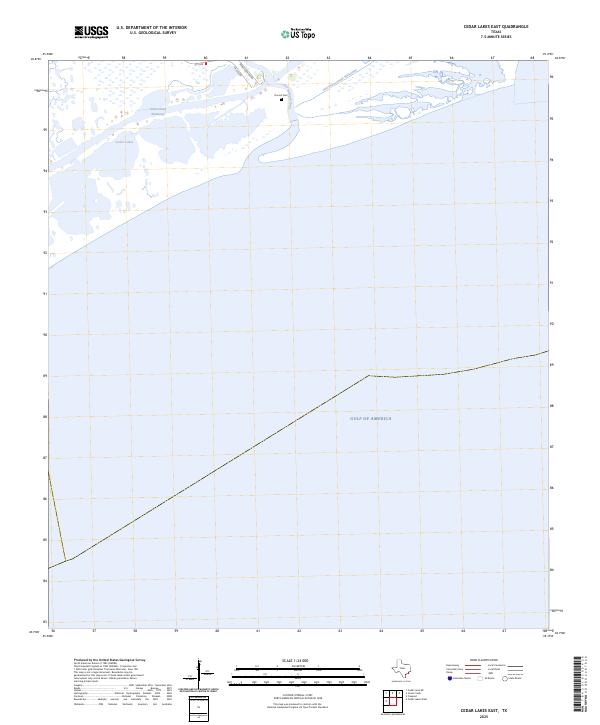
1943 Map of Cedar Lakes East
USGS Topo · Published 1958About this map
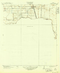
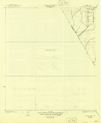
The San Bernard River reaches its Gulf terminus on this wartime survey of the Texas coast, revealing a landscape defined by saltwater marshes and navigational engineering. The Intracoastal Waterway cuts a straight path through the sprawling Cedar Lakes, maintaining a Project Depth 12 Feet for vital coastal traffic, while the winding Old Intracoastal Waterway remains visible nearby. Human presence is concentrated in small pockets of high ground, including the Hotel and the settlement of Owen. Of particular interest to genealogists is the Ducroz Cem, situated near the riverbanks. The survey also notes technical features of the coastal water table, including an Artesian Well, reflecting the practical resource management of this marshy Brazoria County shoreline during the early 1940s.
Find a feature on this map
10 named features on this map. Tap any name to fly to it.
Don’t see what you’re looking for? This feature index may not catch every label — zoom into the map to look around manually.
Map Details
Editions of this 1943 Cedar Lakes East Map
This is the sole edition of this map. No revisions or reprints were ever made.
Historical Maps of Freeport Through Time
26 maps found
1920 Mykawa
Brazoria County, TX
1932 Mustang Bayou
Brazoria County, TX
1943 Cedar Lakes East
Brazoria County, TX

1943 Chocolate Bay
Brazoria County, TX

1943 Chocolate Bayou
Brazoria County, TX

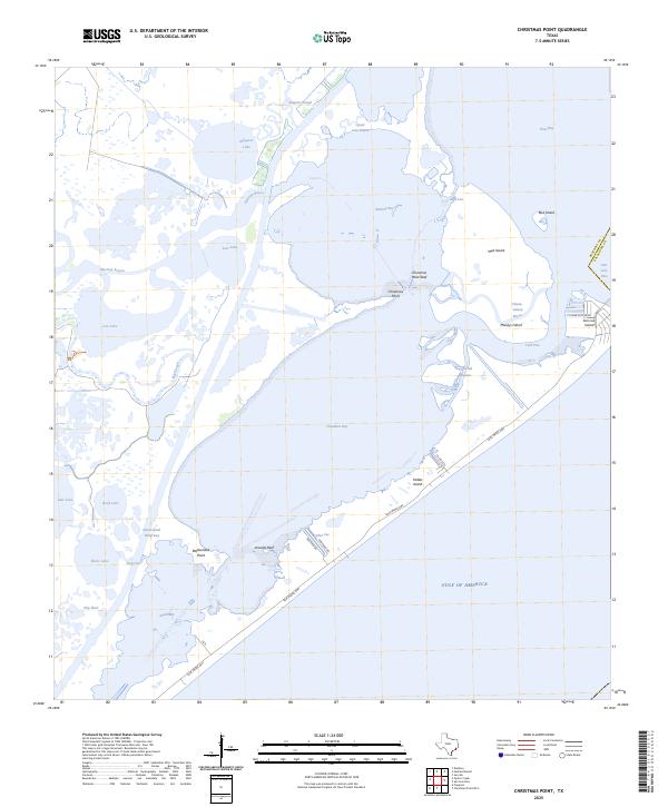
1943 Christmas Point
Brazoria County, TX
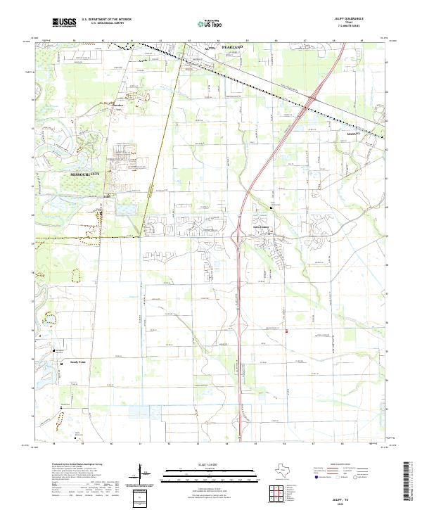
1943 Juliff
Brazoria County, TX
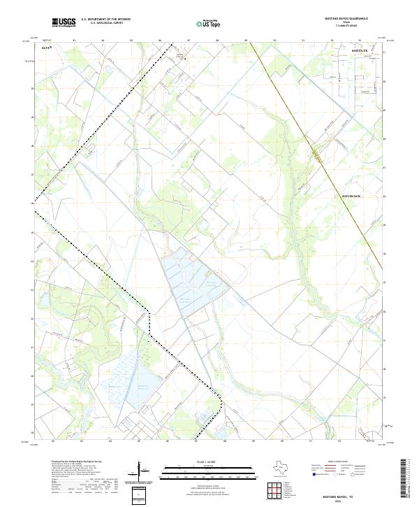
1943 Mustang Bayou
Brazoria County, TX
1943 Snipe
Brazoria County, TX
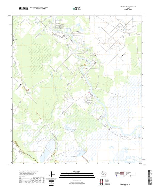
1952 Cedar Lane NE
Brazoria County, TX
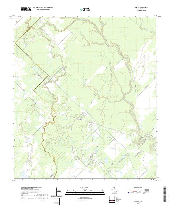
1952 Danciger
Brazoria County, TX

1953 Otey
Brazoria County, TX
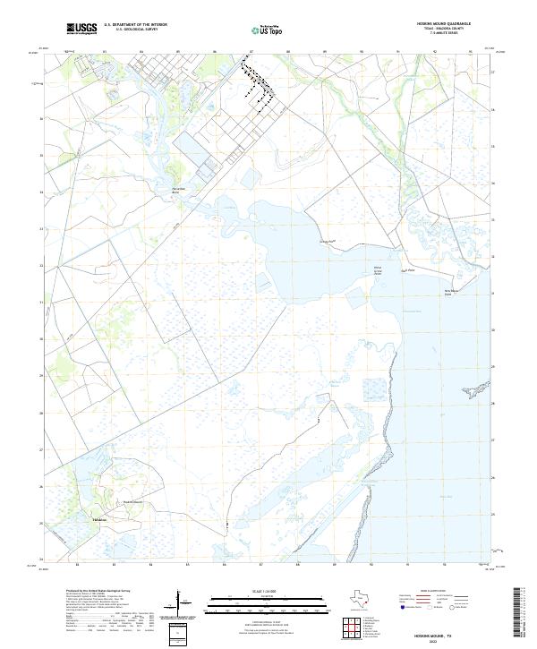
1963 Hoskins Mound
Brazoria County, TX
1963 Juliff
Brazoria County, TX
1963 Mustang Bayou
Brazoria County, TX
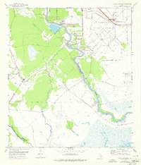
1964 Cedar Lakes East
Brazoria County, TX
1965 Christmas Point
Brazoria County, TX
2022 Cedar Lane NE
Brazoria County, TX
2022 Danciger
Brazoria County, TX
2022 Hoskins Mound
Brazoria County, TX
2022 Juliff
Brazoria County, TX
2022 Mustang Bayou
Brazoria County, TX
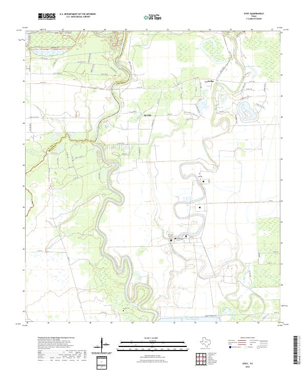
2022 Otey
Brazoria County, TX
2025 Cedar Lakes East
Brazoria County, TX
2025 Christmas Point
Brazoria County, TX
2025 Christmas Point OE S
Brazoria County, TX