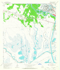
1963 Map of Jones Creek
USGS Topo · Published 1966About this map
Jones Creek and the surrounding marshlands of Brazoria County are defined by the complex water systems near the Gulf of Mexico. The area is bounded by the Brazos River to the east and the winding San Bernard River to the west, with the Old Intracoastal Waterway cutting through the southern wetlands. The settlement pattern shows a concentration of local institutions such as St Joseph Ch, Gulf Prairie Ch, and the Austin Sch, alongside several Oil Wells that indicate the industrial character of the mid-century Texas coast. The map also records significant landmarks like Bryan Mound and Perry Landing, providing a detailed look at the rural and extractive infrastructure before further modern coastal development altered the local landscape.
Find a feature on this map
29 named features on this map. Tap any name to fly to it.
Don’t see what you’re looking for? This feature index may not catch every label — zoom into the map to look around manually.
Map Details
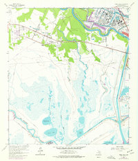
Editions of this 1963 Jones Creek Map
2 editions found
Other maps of this area

1943 · Oyster Creek
USGS Topo · 1:31,680

1943 · Jones Creek
USGS Topo · 1:31,680

1943 · Freeport
USGS Topo · 1:31,680

1943 · Cedar Lakes East
USGS Topo · 1:24,000

1943 · Snipe
USGS Topo · 1:31,680

1950 · Houston
USGS Topo · 1:250,000

1951 · Bay City
USGS Topo · 1:250,000

1952 · Cedar Lane NE
USGS Topo · 1:24,000

1952 · Cedar Lakes West
USGS Topo · 1:24,000

1952 · Brazoria
USGS Topo · 1:24,000