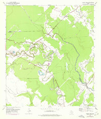
1952 Map of Cedar Lane
USGS Topo · Published 1977About this map
Caney Creek winds through a dense network of sloughs and lakes along the border of Brazoria and Matagorda counties. This mid-century landscape is defined by its riparian geometry, where the wandering channel created oxbows such as Cannon Lake and Williams Lake. Small rural communities like Cedar Lane and Gainesmore serve as local hubs, anchored by institutions like the Kennedy Sch.
Find a feature on this map
29 named features on this map. Tap any name to fly to it.
Don’t see what you’re looking for? This feature index may not catch every label — zoom into the map to look around manually.
Map Details
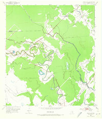
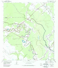
Editions of this 1952 Cedar Lane Map
4 editions found
Other maps of this area

1950 · Houston
USGS Topo · 1:250,000

1951 · Bay City
USGS Topo · 1:250,000

1952 · Sweeny
USGS Topo · 1:24,000

1952 · Ashwood
USGS Topo · 1:24,000

1952 · Lake Austin
USGS Topo · 1:24,000

1952 · Cedar Lane NE
USGS Topo · 1:24,000

1952 · Cedar Lakes West
USGS Topo · 1:24,000

1952 · Bay City NE
USGS Topo · 1:24,000

1952 · Brazoria
USGS Topo · 1:24,000

1952 · Cedar Lane
USGS Topo · 1:24,000