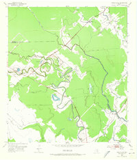
1952 Map of Cedar Lane
USGS Topo · Published 1973About this map
The winding oxbows of Caney Creek and Caney Bayou define the low-lying coastal landscape of this 1952 survey. The area is marked by a network of small, scattered settlements like Linnville, Gainesmore, and Hawkinsville, many centered around rural community pillars. Several houses of worship and education appear on this sheet, including Magnolia Sch, Kennedy Sch, and churches such as St Mark Ch and Grace Ch.
Find a feature on this map
25 named features on this map. Tap any name to fly to it.
Don’t see what you’re looking for? This feature index may not catch every label — zoom into the map to look around manually.
Map Details
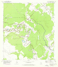
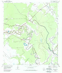
Editions of this 1952 Cedar Lane Map
4 editions found
Other maps of this area

1950 · Houston
USGS Topo · 1:250,000

1951 · Bay City
USGS Topo · 1:250,000

1952 · Sweeny
USGS Topo · 1:24,000

1952 · Ashwood
USGS Topo · 1:24,000

1952 · Lake Austin
USGS Topo · 1:24,000

1952 · Cedar Lane NE
USGS Topo · 1:24,000

1952 · Cedar Lakes West
USGS Topo · 1:24,000

1952 · Bay City NE
USGS Topo · 1:24,000

1952 · Brazoria
USGS Topo · 1:24,000

1952 · Cedar Lane
USGS Topo · 1:24,000