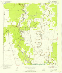
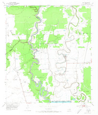
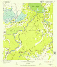
1953 Map of Otey
USGS Topo · Published 1955About this map
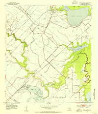
The Brazos River meanders sharply through the landscape along the border of Brazoria and Fort Bend counties, where an emerging petroleum economy is marked by numerous Oil Wells, Gas Wells, and massive tank batteries. The eastern half of the map is dominated by the Ramsey State Prison Farm, a large agricultural and institutional tract anchored by Unit No 1 and Unit No 2 and protected by an extensive Levee system along the winding banks of Oyster Creek.
Find a feature on this map
33 named features on this map. Tap any name to fly to it.
Don’t see what you’re looking for? This feature index may not catch every label — zoom into the map to look around manually.
Map Details
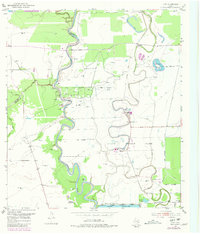
Editions of this 1953 Otey Map
4 editions found

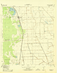
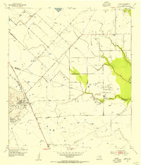
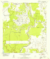
Other maps of this area
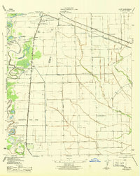
1943 · Rosharon
USGS Topo · 1:31,680
1943 · Juliff
USGS Topo · 1:31,680
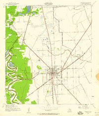
1943 · Angleton
USGS Topo · 1:24,000

1950 · Houston
USGS Topo · 1:250,000
1952 · West Columbia
USGS Topo · 1:24,000
1952 · East Columbia
USGS Topo · 1:24,000
1953 · Lake George
USGS Topo · 1:24,000
1953 · Damon
USGS Topo · 1:24,000
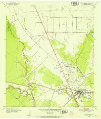
1953 · Thompsons
USGS Topo · 1:24,000

1956 · Houston
USGS Topo · 1:250,000