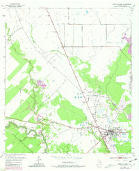
1952 Map of West Columbia
USGS Topo · Published 1981About this map
The West Columbia Oil Field dominates the landscape of this Brazoria County region, where the industrial infrastructure of energy production meets the bottomlands of the San Bernard River. Developed atop a massive salt dome, the field is marked by an extensive network of Oil Tanks and a significant Tank Farm just north of the town center. The settlement of West Columbia sits at a historic crossroads, serving as a hub for the local oil economy and providing access to the preserved grounds of Varner Hogg State Park along the banks of Varner Creek.
Find a feature on this map
12 named features on this map. Tap any name to fly to it.
Don’t see what you’re looking for? This feature index may not catch every label — zoom into the map to look around manually.
Map Details
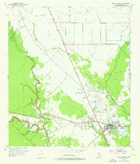
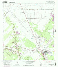
Editions of this 1952 West Columbia Map
4 editions found
Other maps of this area

1950 · Houston
USGS Topo · 1:250,000

1952 · West Columbia
USGS Topo · 1:24,000

1952 · Sweeny
USGS Topo · 1:24,000

1952 · Danciger
USGS Topo · 1:24,000

1952 · Ashwood
USGS Topo · 1:24,000

1952 · East Columbia
USGS Topo · 1:24,000

1952 · Brazoria
USGS Topo · 1:24,000

1953 · Guy
USGS Topo · 1:24,000

1953 · Damon
USGS Topo · 1:24,000

1953 · Otey
USGS Topo · 1:24,000