
1953 Map of Needville
USGS Topo · Published 1954About this map
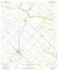
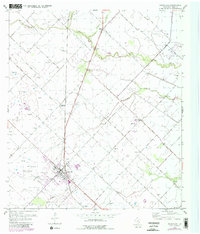
The town of Needville serves as the focal point of this coastal prairie landscape in the early 1950s, where the agricultural grid is increasingly defined by the burgeoning Texas petroleum industry. The presence of the Big Creek Oil Field and the Needville Oil Field is marked by numerous oil tanks, pipe lines, and gas wells that dot the terrain alongside more traditional landmarks like the hundreds of windmills that provided water for cattle and crops. Transport across the region is anchored by the Southern Pacific railroad and the 36th Division Memorial Highway, which links the local center to the small settlement of Pleak further north.
Find a feature on this map
20 named features on this map. Tap any name to fly to it.
Don’t see what you’re looking for? This feature index may not catch every label — zoom into the map to look around manually.
Map Details
Editions of this 1953 Needville Map
3 editions found
Other maps of this area

1950 · Houston
USGS Topo · 1:250,000

1953 · Guy
USGS Topo · 1:24,000

1953 · Lake George
USGS Topo · 1:24,000

1953 · Kendleton
USGS Topo · 1:24,000

1953 · Damon
USGS Topo · 1:24,000

1953 · Boling
USGS Topo · 1:24,000

1955 · Sugar Land
USGS Topo · 1:62,500

1955 · Richmond
USGS Topo · 1:62,500

1956 · Houston
USGS Topo · 1:250,000
1970 · Sugar Land
USGS Topo · 1:24,000