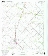
1953 Map of Needville
USGS Topo · Published 1980About this map
Needville sits at the heart of this agricultural and industrial landscape in Fort Bend County, where the Southern Pacific railroad provides a central axis for the town's early growth. The map illustrates a region transitioning between rural farming and energy extraction, evidenced by the extensive Needville Oil Field to the southwest and the Big Creek Oil Field along the eastern margin. These industrial zones are marked by clusters of oil tanks and gas wells that punctuate the coastal prairie.
Find a feature on this map
16 named features on this map. Tap any name to fly to it.
Don’t see what you’re looking for? This feature index may not catch every label — zoom into the map to look around manually.
Map Details
Editions of this 1953 Needville Map
3 editions found
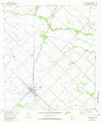
Other maps of this area

1950 · Houston
USGS Topo · 1:250,000

1953 · Needville
USGS Topo · 1:24,000

1953 · Guy
USGS Topo · 1:24,000

1953 · Lake George
USGS Topo · 1:24,000

1953 · Kendleton
USGS Topo · 1:24,000

1953 · Damon
USGS Topo · 1:24,000

1953 · Boling
USGS Topo · 1:24,000

1955 · Sugar Land
USGS Topo · 1:62,500

1955 · Richmond
USGS Topo · 1:62,500

1956 · Houston
USGS Topo · 1:250,000