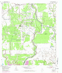
1953 Map of Thompsons
USGS Topo · Published 1981About this map
Thompson Ridge and the winding course of the Brazos River define the character of this southeast Texas landscape during the early 1950s. The settlement of Thompsons is established at the junction of the Atchison Topeka and Santa Fe and the Missouri Pacific Railroad, serving as a hub for the surrounding Thompsons Field petroleum operations. Numerous Oil Wells and storage tanks dot the terrain, particularly around the residential cluster at Humble Camp.
Find a feature on this map
24 named features on this map. Tap any name to fly to it.
Don’t see what you’re looking for? This feature index may not catch every label — zoom into the map to look around manually.
Map Details
Editions of this 1953 Thompsons Map
3 editions found
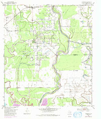
Other maps of this area

1920 · Almeda
USGS Topo · 1:31,680

1943 · Rosharon
USGS Topo · 1:31,680

1943 · Juliff
USGS Topo · 1:31,680

1950 · Houston
USGS Topo · 1:250,000

1953 · Lake George
USGS Topo · 1:24,000

1953 · Damon
USGS Topo · 1:24,000

1953 · Otey
USGS Topo · 1:24,000

1953 · Thompsons
USGS Topo · 1:24,000
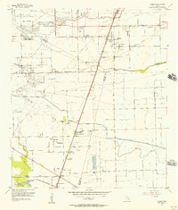
1955 · Almeda
USGS Topo · 1:24,000

1955 · Sugar Land
USGS Topo · 1:62,500