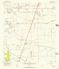
1955 Map of Almeda
USGS Topo · Published 1957About this map
Blue Ridge State Prison Farm anchors the western edge of this 1950s landscape, illustrating the institutional presence in the region during the mid-century. The map captures a transition from agricultural land to industrial and infrastructure development, evidenced by the Blue Ridge Field oil and gas activity and the complex web of pipelines crossing the terrain. Small communities like Almeda and Fresno sit along the Missouri Pacific railroad, serving as focal points for local social life with landmarks such as Mt Corinth Ch and the Arcola-Fresno Cem. Water management is central to the area's geography, shown through the engineered path of the American Canal and natural drainage of Mustang Bayou and Clear Creek. The inclusion of specialized sites like Keightley Hospital and the Television Tower (KTRK) reflects the growing complexity of the suburbanizing Texas coastal plain.
Find a feature on this map
37 named features on this map. Tap any name to fly to it.
Don’t see what you’re looking for? This feature index may not catch every label — zoom into the map to look around manually.
Map Details
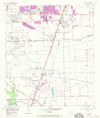
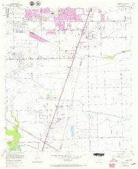
Editions of this 1955 Almeda Map
3 editions found
Other maps of this area

1915 · Bellaire
USGS Topo · 1:24,000

1915 · Park Place
USGS Topo · 1:24,000

1915 · Alief
USGS Topo · 1:24,000

1920 · Mykawa
USGS Topo · 1:31,680

1920 · Almeda
USGS Topo · 1:31,680

1921 · Bellaire
USGS Topo · 1:31,680

1922 · Park Place
USGS Topo · 1:31,680

1943 · Juliff
USGS Topo · 1:31,680

1950 · Houston
USGS Topo · 1:250,000

1953 · Thompsons
USGS Topo · 1:24,000