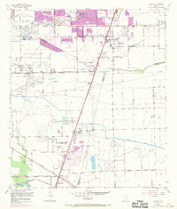
1955 Map of Almeda
USGS Topo · Published 1970About this map
The Blue Ridge State Prison Farm dominates the northwestern landscape of this region, reflecting the agricultural and industrial land use on the outskirts of Harris County during the mid-century. This survey highlights the infrastructure of the Blue Ridge Oil Field, crisscrossed by pipelines and the American Canal. Urban expansion is evident through photorevised purple tints around settlements like Almeda and Winchester, while the southern reaches remain primarily rural. Transport and logistics are anchored by the Missouri Pacific and Atchison Topeka and Santa Fe railroads, which converge near Arcola Junction. Local community life is marked by the presence of Mt Cornith Ch, the Beth Jacob Cem, and the formerly active Mustang Sch (Inactive) near Fresno. Specialized landmarks such as Keightley Hospital and the Television Tower (KTRK) further distinguish the developing corridor between Houston and the Gulf coast.
Find a feature on this map
34 named features on this map. Tap any name to fly to it.
Don’t see what you’re looking for? This feature index may not catch every label — zoom into the map to look around manually.
Map Details
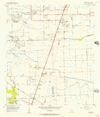
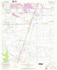
Editions of this 1955 Almeda Map
3 editions found
Other maps of this area

1915 · Bellaire
USGS Topo · 1:24,000

1915 · Park Place
USGS Topo · 1:24,000

1915 · Alief
USGS Topo · 1:24,000

1920 · Mykawa
USGS Topo · 1:31,680

1920 · Almeda
USGS Topo · 1:31,680

1921 · Bellaire
USGS Topo · 1:31,680

1922 · Park Place
USGS Topo · 1:31,680

1943 · Juliff
USGS Topo · 1:31,680

1950 · Houston
USGS Topo · 1:250,000

1953 · Thompsons
USGS Topo · 1:24,000