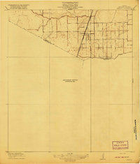
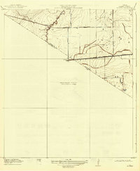
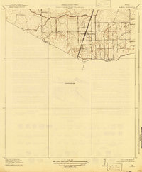
1920 Map of Almeda
USGS Topo · Published 1920About this map
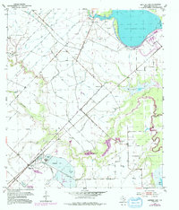
International and Great Northern rail lines cut a sharp diagonal through this coastal prairie landscape, anchoring the small settlement of Almeda near the top of the sheet. Surveyed in 1915, this preliminary edition captures the drainage patterns of the Texas Gulf Coast, defined by the winding courses of Sims Bayou to the north and Clear Creek at the southern boundary. The map illustrates a transitional period for Harris County, where large swaths remained as unsurveyed prairie even as rail infrastructure began to drive regional development. Boundary lines for Fort Bend and Brazoria counties meet here, highlighting the area's position at a tri-county juncture. The terrain is notably flat, with subtle contour intervals revealing the low-lying nature of the coastal plain just south of the Houston area.
Find a feature on this map
7 named features on this map. Tap any name to fly to it.
Don’t see what you’re looking for? This feature index may not catch every label — zoom into the map to look around manually.
Map Details
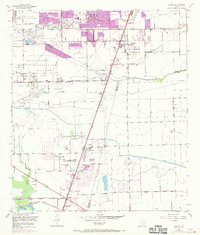
Editions of this 1920 Almeda Map
2 editions found
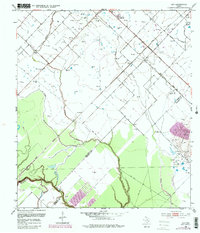
Historical Maps of Houston Through Time
17 maps found

1915 Clodine
Fort Bend County, TX
1919 Clodine
Fort Bend County, TX
1920 Almeda
Fort Bend County, TX
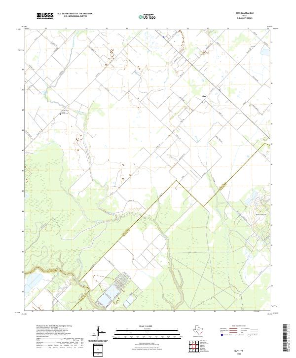
1953 Guy
Fort Bend County, TX
1953 Smithers Lake
Fort Bend County, TX
1955 Almeda
Fort Bend County, TX

1970 Clodine
Fort Bend County, TX
1971 Richmond NE
Fort Bend County, TX

1982 Almeda
Fort Bend County, TX

1982 Clodine
Fort Bend County, TX

1995 Almeda
Fort Bend County, TX

1995 Clodine
Fort Bend County, TX

2022 Almeda
Fort Bend County, TX

2022 Clodine
Fort Bend County, TX
2022 Guy
Fort Bend County, TX
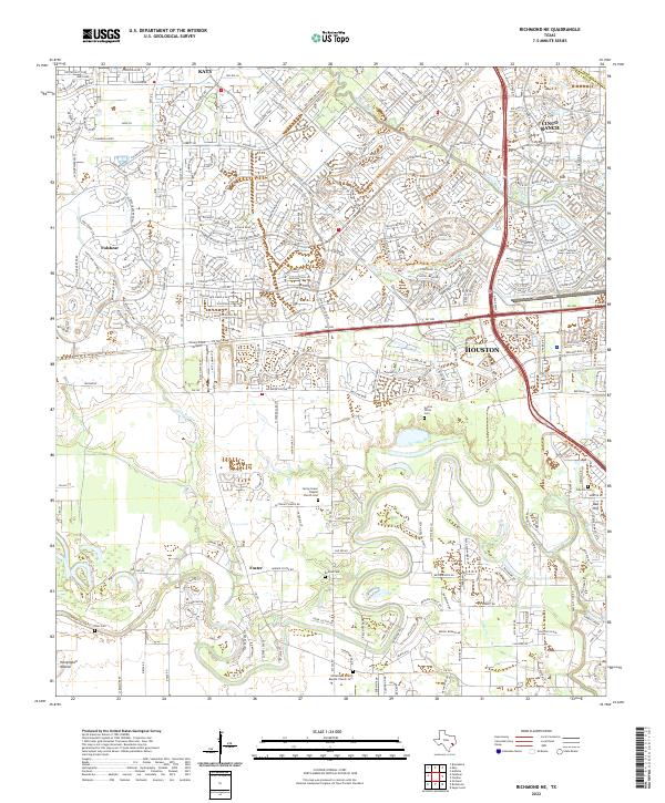
2022 Richmond NE
Fort Bend County, TX
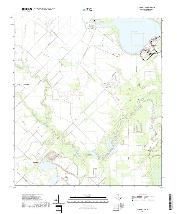
2022 Smithers Lake
Fort Bend County, TX