
1915 Map of Alief
USGS Topo · Published 1915About this map
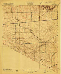
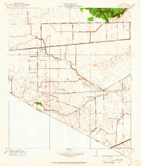
The settlement of Alief and the tiny outpost of Jeannetta anchor this 1915 survey of western Harris County, Texas. This pre-urban landscape is defined by the winding course of Brays Bayou and the straight line of the San Antonio and Aransas Pass railroad. The map records the early social fabric of the dairy farming and rice-growing community through landmarks such as the Traceyville Church and Piney Point School.
Find a feature on this map
15 named features on this map. Tap any name to fly to it.
Don’t see what you’re looking for? This feature index may not catch every label — zoom into the map to look around manually.
Map Details
Editions of this 1915 Alief Map
3 editions found
Other maps of this area

1915 · Bellaire
USGS Topo · 1:24,000

1915 · Houston Heights
USGS Topo · 1:24,000

1915 · Addicks
USGS Topo · 1:24,000

1915 · Hillendahl
USGS Topo · 1:24,000

1915 · Clodine
USGS Topo · 1:24,000

1918 · Addicks
USGS Topo · 1:31,680

1918 · Hillendahl
USGS Topo · 1:31,680

1919 · Clodine
USGS Topo · 1:31,680

1920 · Almeda
USGS Topo · 1:31,680

1921 · Bellaire
USGS Topo · 1:31,680