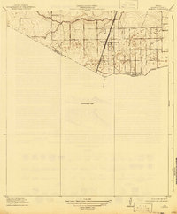
1920 Map of Almeda
USGS Topo · Published 1941About this map
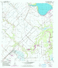
Almeda stands as the primary settlement in this corner of Southeast Texas during the early twentieth century, situated along the International and Great Northern railroad line. The landscape is defined by the drainage systems of Sims Bayou to the north and Clear Creek along the southern boundary, where Harris, Fort Bend, and Brazoria counties meet. A significant portion of the southern area is marked as an Unsurveyed Area, reflecting the transitional state of the coastal plains mapping at this time. The map documents a sparsely populated rural district before the suburban expansion of the region, emphasizing the importance of the rail corridor for transport and local commerce between the bayou systems.
Find a feature on this map
7 named features on this map. Tap any name to fly to it.
Don’t see what you’re looking for? This feature index may not catch every label — zoom into the map to look around manually.
Map Details
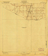
Editions of this 1920 Almeda Map
2 editions found
Historical Maps of Houston Through Time
17 maps found

1915 Clodine
Fort Bend County, TX
1919 Clodine
Fort Bend County, TX
1920 Almeda
Fort Bend County, TX
1953 Guy
Fort Bend County, TX
1953 Smithers Lake
Fort Bend County, TX
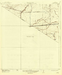
1955 Almeda
Fort Bend County, TX

1970 Clodine
Fort Bend County, TX
1971 Richmond NE
Fort Bend County, TX

1982 Almeda
Fort Bend County, TX

1982 Clodine
Fort Bend County, TX

1995 Almeda
Fort Bend County, TX

1995 Clodine
Fort Bend County, TX

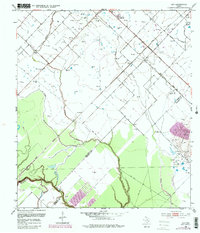
2022 Almeda
Fort Bend County, TX

2022 Clodine
Fort Bend County, TX
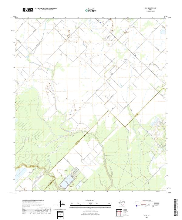
2022 Guy
Fort Bend County, TX
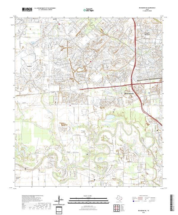
2022 Richmond NE
Fort Bend County, TX
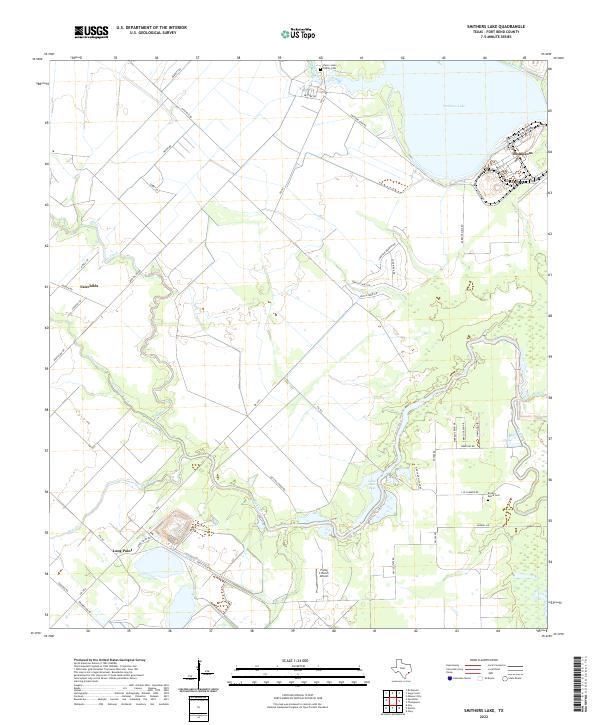
2022 Smithers Lake
Fort Bend County, TX