Old Maps of Sienna, Texas
Explore 10 old maps of Sienna, spanning from 1950 to today. These high-resolution historic maps reveal how streets, neighborhoods, landmarks, and natural features evolved over time — perfect for genealogy, metal detecting, research, and local history exploration.
What you can do with these maps:
- See how Sienna changed over time: Compare historical maps to modern-day views to trace roads, homesites, rail lines & more.
- View detailed metadata: Each map includes creators, publishers, year, scale, and archive source.
- Overlay maps with satellite & LiDAR: Visualize the past alongside modern tools to explore terrain & human change.
- Trusted historical sources: Maps sourced from the USGS, Library of Congress, and other archives.
- Access maps your way: View online, download high-res files, or order prints for personal or research use.
Start exploring old maps of Sienna to uncover forgotten places, hidden landmarks, and the deep history beneath your feet.
Sienna, TX maps
(10)- 1950 Map of Houston, 1953 Print
 1950 Houston1953 Print · USGSCoastal Texas in the early fifties reveals a landscape of massive civil engineering and industrial transit. Genealogists and researchers can trace the growth of the Houston suburbs and the maritime infrastructure of Galveston Bay, including the Gulf Freeway and the Texas City Dike.
 - 1953 Map of Thompsons, 1955 Print
 1953 Thompsons1955 Print · USGSThe Brazos River valley in the early fifties shows a landscape transformed by petroleum at Humble Camp and Thompsons Ridge Field. Trace family roots near Thompsons and locate the Sacred Heart Church or the Darrington State Prison Farm.3 unique versions available
 - 1956 Map of Houston, 1963 Print
 1956 Houston1963 Print · USGSSoutheast Texas in the mid-fifties is captured here as a powerhouse of oil and maritime trade. Genealogists and historians can trace the foundations of Houston and its ports, alongside landmarks like the Rice Institute and the Spindletop Oil Field.2 unique versions available
 - 1975 Map of Houston, 1977 Print
 1975 Houston1977 Print · USGSThe Texas Gulf Coast in the mid-seventies shows a sprawling Houston metropolis linked to the sea by the massive Houston Ship Channel. Researchers can trace the mid-century industrial landscape from the Astrodome to the Lyndon B. Johnson Space Center.2 unique versions available
 - 1984 Map of Angleton
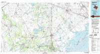 1984 Angleton1984 Print · USGSThe Texas Gulf Coast in the mid-eighties shows a landscape of salt domes and bayous at the height of its oil-and-river economy. Researchers can trace land use through the Damon Mound Oil Field and the sprawling State Department of Corrections (Retrieve Unit).2 unique versions available
 - 2010 Map of Thompsons, 2010 Print
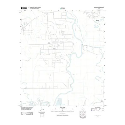 2010 Thompsons2010 Print · USGSFort Bend County's river-fed lowlands are captured here in the decade following the turn of the millennium. Genealogists and local historians can trace the area's development through landmarks like Booker T Washington School, Thompsons Oil Field, and Humble Camp.
 - 2013 Map of Thompsons, 2013 Print
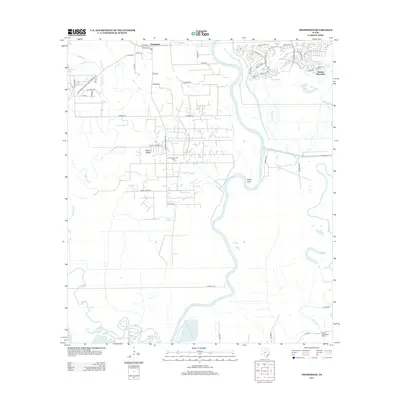 2013 Thompsons2013 Print · USGSFort Bend County in the early twenty-first century is a landscape of winding river bends and transitioning oil fields. Researchers can trace the legacy of the Thompsons Oil Field and Humble Camp alongside the Booker T Washington School.
 - 2016 Map of Thompsons, 2016 Print
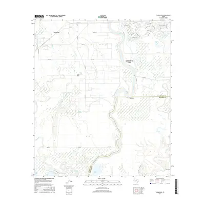 2016 Thompsons2016 Print · USGSThe Brazos River valley transitions from agricultural tradition to suburban growth in this recent survey of the Texas Gulf Coast. Researchers can trace the winding course of Oyster Creek and locate landmarks like Smithers Lake, Thompsons, and the residential blocks of Missouri City.
 - 2019 Map of Thompsons, 2019 Print
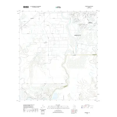 2019 Thompsons2019 Print · USGSThe Brazos River bottomlands near Thompsons reveal a modern landscape of coastal bayous and expanding residential corridors. Genealogists and local historians can trace the geography of old settlements like Rabbs Ridge and waterways such as Waters Lake Bayou.
 - 2022 Map of Thompsons, 2022 Print
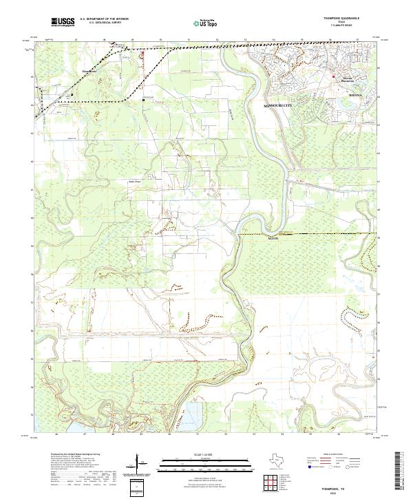 2022 Thompsons2022 Print · USGSFort Bend and Brazoria counties appear in this recent survey as the Brazos River corridor balances historical family lands with suburban growth. Genealogists can locate family burial sites at Jones Cem and the Mount Pilgrim Baptist Church Cem near Thompsons.
End of results
Showing maps 1-10 of 10
Top cities near Sienna
- Houston historical maps
- Pearland historical maps
- Sugar Land historical maps
- Missouri City historical maps
- Rosenberg historical maps
- Alvin historical maps
See more
Frequently asked questions
- What are the different types of historical maps available for Sienna?
- What is the oldest map of Sienna?
- Where can I purchase historical maps of Sienna for my home or office?
- Where can I download high-res historical maps of Sienna?
- Are there historical topographic maps available for Sienna?
- Is there historical aerial imagery available for Sienna?
- Where are historical maps of Sienna sourced from?