
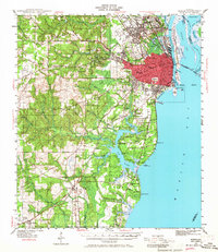
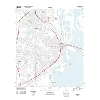
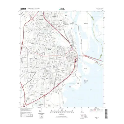
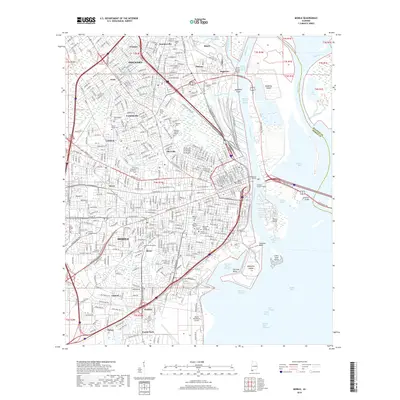
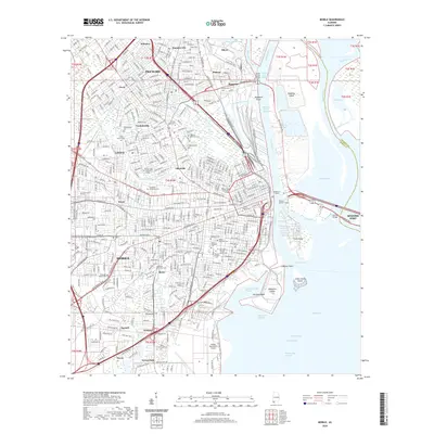
1984 Map of Mobile
USGS Topo · Published 1984About this map
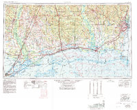
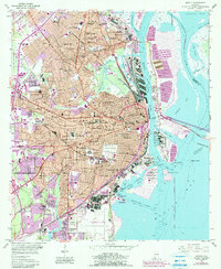
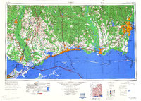
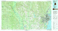
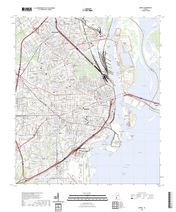
The sprawling port of Mobile and its industrial waterfront dominate the eastern reaches of this mid-1980s coastal survey. The urban core, comprising Prichard, Chickasaw, and Saraland, is defined by a dense network of transit including the Louisville and Nashville and Illinois Central Gulf railroads. Along the shores of Mobile Bay, the USS Alabama Battleship Memorial State Park stands as a prominent landmark near Pinto Island and McDuffie Island.
Find a feature on this map
134 named features on this map. Tap any name to fly to it.
Don’t see what you’re looking for? This feature index may not catch every label — zoom into the map to look around manually.
Map Details
Editions of this 1984 Mobile Map
This is the sole edition of this map. No revisions or reprints were ever made.
Historical Maps of Mobile Through Time
19 maps found

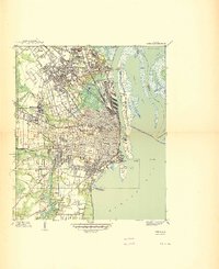
1922 Mobile
Mobile County, AL
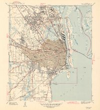
1940 Mobile
Mobile County, AL
1940 Mobile
Mobile County, AL
1943 Mobile
Mobile County, AL
1944 Mobile
Mobile County, AL
1953 Mobile
Mobile County, AL
1953 Mobile
Mobile County, AL

1957 Mobile
Mobile County, AL

1960 Mobile
Mobile County, AL

1963 Mobile
Mobile County, AL

1965 Mobile
Mobile County, AL
1984 Mobile
Mobile County, AL
1984 Mobile
Mobile County, AL
1994 Mobile
Mobile County, AL
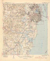
2011 Mobile
Mobile County, AL
2014 Mobile
Mobile County, AL
2018 Mobile
Mobile County, AL
2020 Mobile
Mobile County, AL
2024 Mobile
Mobile County, AL