
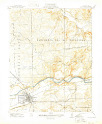
1939 Map of Modesto East
USGS Topo · Published 1965About this map
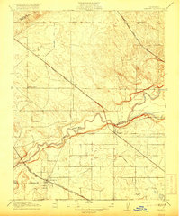
The Stanislaus River and Tuolumne River define this fertile agricultural corridor just before the mid-century expansion of the Central Valley. Irrigation infrastructure is remarkably dense, featuring the Modesto Canal and Ceres Canal, which supported the surrounding orchard and dairy economies. The landscape is a grid of early 20th-century development, anchored by the growing hubs of Modesto and Turlock.
Find a feature on this map
51 named features on this map. Tap any name to fly to it.
Don’t see what you’re looking for? This feature index may not catch every label — zoom into the map to look around manually.
Map Details
Editions of this 1939 Modesto East Map
This is the sole edition of this map. No revisions or reprints were ever made.
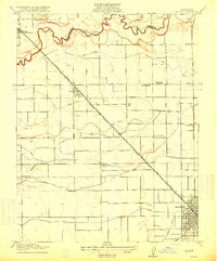
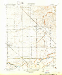
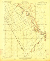
Other maps of this area

1914 · Avena
USGS Topo · 1:31,680
1915 · Oakdale
USGS Topo · 1:31,680

1915 · Paulsell
USGS Topo · 1:31,680

1915 · Westport
USGS Topo · 1:31,680
1915 · Salida
USGS Topo · 1:31,680
1915 · Thalheim
USGS Topo · 1:31,680

1916 · Mitchell School
USGS Topo · 1:31,680
1916 · Crows Landing
USGS Topo · 1:31,680
1916 · Cressey
USGS Topo · 1:31,680

1916 · Montpellier
USGS Topo · 1:31,680