
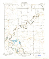
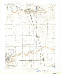
1915 Map of Westport
USGS Topo · Published 1915About this map
The confluence of the Tuolumne River and the San Joaquin River dominates this Stanislaus County landscape, revealing a transition from sprawling Mexican land grants to a formal American irrigation grid. Land north of the San Joaquin River is organized around a network of canals, including Lateral No 1, Lateral No 2, and Lateral No 3, which supported the early 20th-century agricultural expansion of the Central Valley.
Find a feature on this map
18 named features on this map. Tap any name to fly to it.
Don’t see what you’re looking for? This feature index may not catch every label — zoom into the map to look around manually.
Map Details
Editions of this 1915 Westport Map
This is the sole edition of this map. No revisions or reprints were ever made.
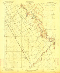
Other maps of this area
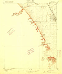
1915 · Ripon
USGS Topo · 1:31,680
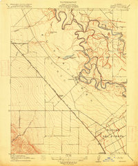
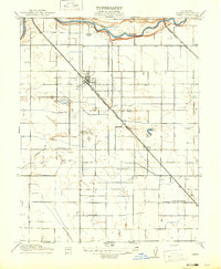
1915 · Westley
USGS Topo · 1:31,680
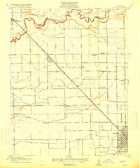
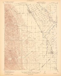
1915 · Salida
USGS Topo · 1:31,680

1916 · Mitchell School
USGS Topo · 1:31,680
1916 · Crows Landing
USGS Topo · 1:31,680
1916 · Patterson
USGS Topo · 1:31,680
1916 · Riverbank
USGS Topo · 1:31,680
1916 · Ceres
USGS Topo · 1:31,680
1919 · Orestimba
USGS Topo · 1:62,500

1939 · Modesto East
USGS Topo · 1:62,500