Loading...
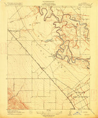
Loading map...1915 Map of Westley
USGS Topo · Published 1915About this map
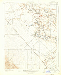
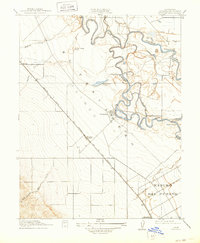
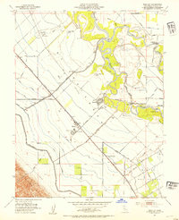
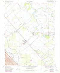
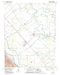
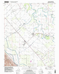
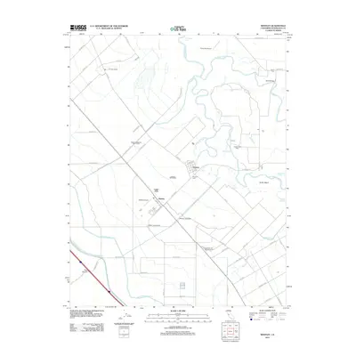
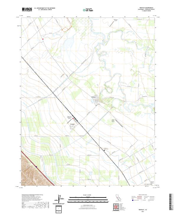
The confluence of the San Joaquin River and the Tuolumne River dominates this landscape, showing a complex network of active sloughs and oxbow lakes before modern river engineering. The map reveals the early 20th-century development of the Central Valley, where the rail-and-water economy is in full view. The Southern Pacific (San Francisco and New Orleans Line) cuts a straight path across the alluvial plain, anchoring the settlement at Westley.
Find a feature on this map
24 named features on this map. Tap any name to fly to it.
Don’t see what you’re looking for? This feature index may not catch every label — zoom into the map to look around manually.
Map Details
Date Portrayed1915
Date Published1915
PublisherU.S. Geological Survey
Map TypeTopographic
Scale1:31,680
Physical Dimensions16.4 x 19.7 inches
Editions of this 1915 Westley Map
3 editions found
Historical Maps of Westley Through Time
9 maps found
Featured Locations
Source Details
SourceU.S. Geological Survey
CopyrightPublic Domain