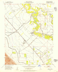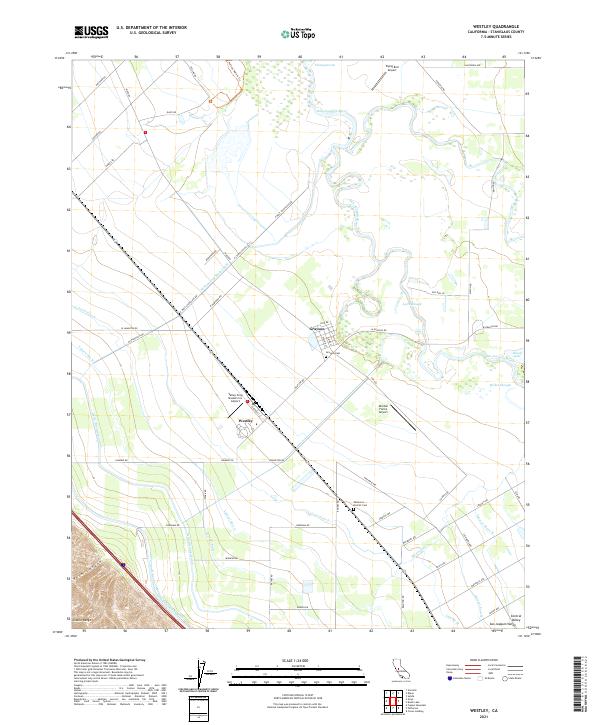
1915 Map of Westley
USGS Topo · Published 1936About this map
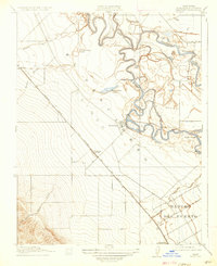
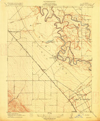
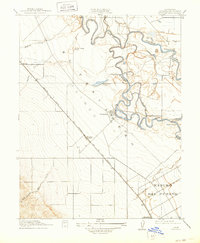
The San Joaquin River and Tuolumne River dominate this landscape, meeting amidst a complex network of waterways including the Finigan Cutoff and Laird Slough. The intricate braiding of these rivers creates unique landforms like Grider Island and seasonal features such as Upper White Lake. Settlement patterns in the early 20th century were dictated by both water and rail, with Tuolumne City perched near the river junction while newer hubs like Westley and Halley emerged along the Southern Pacific (San Francisco and New Orleans Line). To the southwest, the terrain rises sharply from the flat river valley into the foothills of the Coast Ranges, where Kern Canyon and Puerto Creek emerge from the steep contours. Evidence of large-scale land grants remains visible in the boundaries of the Rancho Del Puerto, while the Vanormer Pumping Sta indicates the early engineering efforts to manage water for the region's agricultural development.
Find a feature on this map
23 named features on this map. Tap any name to fly to it.
Don’t see what you’re looking for? This feature index may not catch every label — zoom into the map to look around manually.
Map Details
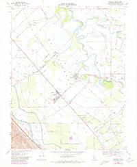
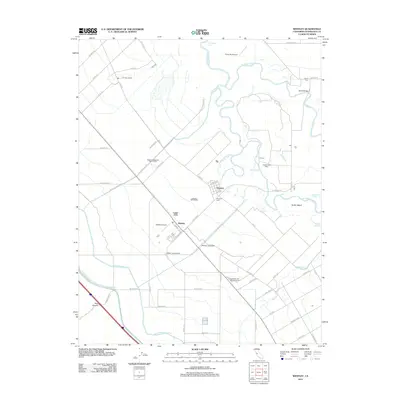
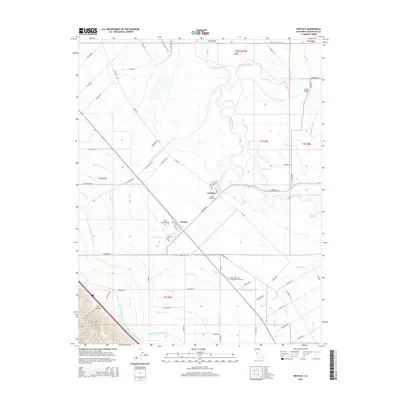
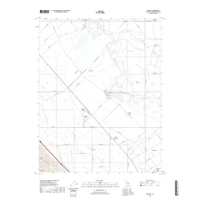
Editions of this 1915 Westley Map
3 editions found
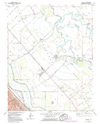
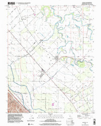
Historical Maps of Westley Through Time
9 maps found