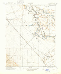
1915 Map of Westley
USGS Topo · Published 1936About this map
The San Joaquin River meanders through this Central Valley landscape, creating a complex network of sloughs and cutoffs like the Finigan Cutoff and Baird Slough. Surveyed just before the mid-century water projects reshaped the region, the map shows the confluence where the Tuolumne River joins the main channel near Tuolumne City. The importance of water management in this agricultural era is evident at the Vanormer Pumping Sta and the irrigation patterns appearing near Rancho Del Puerto.
Find a feature on this map
24 named features on this map. Tap any name to fly to it.
Don’t see what you’re looking for? This feature index may not catch every label — zoom into the map to look around manually.
Map Details
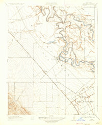
Editions of this 1915 Westley Map
3 editions found
Other maps of this area

1913 · Romain
USGS Topo · 1:31,680

1915 · Vernalis
USGS Topo · 1:31,680

1915 · Ripon
USGS Topo · 1:31,680

1915 · Westport
USGS Topo · 1:31,680

1915 · Westley
USGS Topo · 1:31,680

1915 · Salida
USGS Topo · 1:31,680

1916 · Crows Landing
USGS Topo · 1:31,680

1916 · Patterson
USGS Topo · 1:31,680

1916 · Romain
USGS Topo · 1:31,680

1919 · Orestimba
USGS Topo · 1:62,500