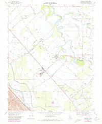
1969 Map of Westley
USGS Topo · Published 1980About this map
The San Joaquin River and Tuolumne River converge in this fertile stretch of the Central Valley, defining a landscape dominated by large-scale water engineering and agricultural transport. The Southern Pacific railroad runs parallel to the California Aqueduct and Delta Mendota Canal, illustrating the vital infrastructure required to sustain the region's productivity. At the center of this network lies Westley, a rail-aligned settlement featuring a Landing Strip and proximity to the Del Puerto and St Marys Cem.
Find a feature on this map
75 named features on this map. Tap any name to fly to it.
Don’t see what you’re looking for? This feature index may not catch every label — zoom into the map to look around manually.
Map Details
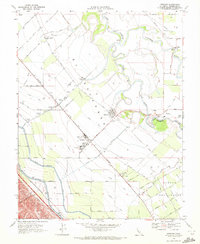
Editions of this 1969 Westley Map
2 editions found
Other maps of this area

1913 · Romain
USGS Topo · 1:31,680

1915 · Vernalis
USGS Topo · 1:31,680

1915 · Ripon
USGS Topo · 1:31,680

1915 · Westport
USGS Topo · 1:31,680

1915 · Westley
USGS Topo · 1:31,680

1915 · Salida
USGS Topo · 1:31,680

1916 · Crows Landing
USGS Topo · 1:31,680

1916 · Patterson
USGS Topo · 1:31,680

1916 · Romain
USGS Topo · 1:31,680

1919 · Orestimba
USGS Topo · 1:62,500