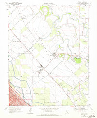
1969 Map of Westley
USGS Topo · Published 1972About this map
The confluence of the San Joaquin River and Tuolumne River anchors this landscape of intensive central valley agriculture and water management. Large-scale irrigation infrastructure dominates the terrain, notably the massive California Aqueduct and Delta-Mendota Canal running parallel to the foothills. The town of Westley serves as a local rail hub along the Southern Pacific line, supported by the Westley Airport and a Farm Labor Center. Near the river, the older settlement of Grayson remains a focal point with its own Grayson School, Grayson Cemetery, and proximity to Laird Slough. The map documents a highly organized rural economy, with large landholdings like El Solyo Ranch and the County Honor Farm surrounded by a rigid grid of named agricultural roads including Loquat Ave and Mulberry Ave.
Find a feature on this map
52 named features on this map. Tap any name to fly to it.
Don’t see what you’re looking for? This feature index may not catch every label — zoom into the map to look around manually.
Map Details
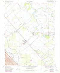
Editions of this 1969 Westley Map
2 editions found
Other maps of this area

1913 · Romain
USGS Topo · 1:31,680

1915 · Vernalis
USGS Topo · 1:31,680

1915 · Ripon
USGS Topo · 1:31,680

1915 · Westport
USGS Topo · 1:31,680

1915 · Westley
USGS Topo · 1:31,680

1915 · Salida
USGS Topo · 1:31,680

1916 · Crows Landing
USGS Topo · 1:31,680

1916 · Patterson
USGS Topo · 1:31,680

1916 · Romain
USGS Topo · 1:31,680

1919 · Orestimba
USGS Topo · 1:62,500