Loading...
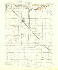
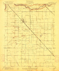
Loading map...1916 Map of Ceres
USGS Topo · Published 1916About this map
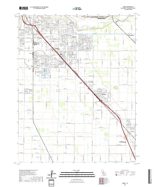
The Tuolumne River winds across the northern edge of this Stanislaus County landscape, serving as a primary water source for a burgeoning agricultural network in the early twentieth century. The map illustrates the sophisticated irrigation system that transformed the valley floor, featuring the Ceres Canal and multiple numbered channels including Lateral No 1 and Lateral No 2. These waterworks supported the central settlement of Ceres, which sits at the junction of the Southern Pacific railroad and the State Highway (Fresno Line).
Find a feature on this map
18 named features on this map. Tap any name to fly to it.
Don’t see what you’re looking for? This feature index may not catch every label — zoom into the map to look around manually.
Map Details
Date Portrayed1916
Date Published1916
PublisherU.S. Geological Survey
Map TypeTopographic
Scale1:31,680
Physical Dimensions17 x 20.6 inches
Editions of this 1916 Ceres Map
2 editions found
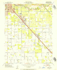
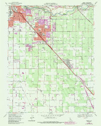
Historical Maps of Modesto Through Time
7 maps found
Featured Locations
Source Details
SourceU.S. Geological Survey
CopyrightPublic Domain