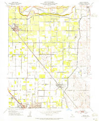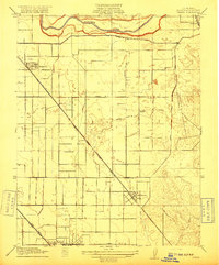
1916 Map of Denair
USGS Topo · Published 1916About this map
The Tuolumne River defines the northern landscape of this Stanislaus County region, where an intricate irrigation network of the Ceres Canal and Turlock Canal supports the developing agricultural valley. The survey captures the transit-oriented growth of early settlements like Hughson and Hickman, while the southern edge shows the burgeoning city of Turlock. This era is defined by the competition of major rail lines, with the Atchison Topeka and Santa Fe cutting diagonally across the landscape toward Denair, and the Southern Pacific running parallel to the State Highway. Rural life is anchored by local educational hubs, including Grafton School and Lowell School, which served the scattered farmsteads before the modern expansion of these San Joaquin Valley communities.
Find a feature on this map
16 named features on this map. Tap any name to fly to it.
Don’t see what you’re looking for? This feature index may not catch every label — zoom into the map to look around manually.
Map Details
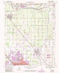
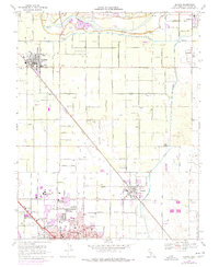
Editions of this 1916 Denair Map
This is the sole edition of this map. No revisions or reprints were ever made.
Historical Maps of Turlock Through Time
8 maps found