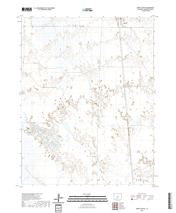
2022 Map of Moffat South
USGS Topo · Published 2022About this map
Moffat anchors the northeastern corner of this Saguache County landscape, its grid defined by prominent thoroughfares like Broadway, Reynolds Ave, and Garfield Ave. The town’s position marks the edge of a complex drainage network where the high-altitude desert meets a system of seasonal watercourses. To the south and west, the terrain is characterized by a series of arroyos and creeks, including the winding paths of Bull Arroyo and Werner Arroyo.
Find a feature on this map
25 named features on this map. Tap any name to fly to it.
Don’t see what you’re looking for? This feature index may not catch every label — zoom into the map to look around manually.
Map Details
Editions of this 2022 Moffat South Map
This is the sole edition of this map. No revisions or reprints were ever made.
Other maps of this area

1915 · Del Norte
USGS Topo · 1:125,000

1917 · Del Norte
USGS Topo · 1:125,000

1945 · Durango
USGS Topo · 1:250,000

1953 · Durango
USGS Topo · 1:250,000

1954 · Durango
USGS Topo · 1:250,000

1954 · Trinidad
USGS Topo · 1:250,000

1954 · Pueblo
USGS Topo · 1:250,000

1955 · Trinidad
USGS Topo · 1:250,000

1956 · Montrose
USGS Topo · 1:250,000

1957 · Pueblo
USGS Topo · 1:250,000