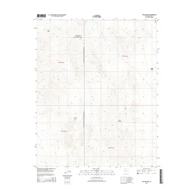
2014 Map of Mohave Mine
USGS Topo · Published 2014About this map
The Mohave Mine stands as a central industrial landmark within this arid landscape of Mohave County, positioned on the eastern slopes of the Black Mountains. The terrain transitions into the Mojave Desert to the west and is characterized by the prominent elevation of the White Hills to the northeast. Much of the northern and western sections of this area are managed as part of the Lake Mead National Recreation Area, reflecting a landscape dedicated to both resource extraction and federally protected wilderness. The intermittent drainage of Jumbo Wash cuts through the northwest corner, illustrating the topographic patterns of this desert environment. This survey captures the intersection of mining history and conservation in a region defined by its extreme relief and complex geological features.
Find a feature on this map
10 named features on this map. Tap any name to fly to it.
Don’t see what you’re looking for? This feature index may not catch every label — zoom into the map to look around manually.
Map Details
Editions of this 2014 Mohave Mine Map
This is the sole edition of this map. No revisions or reprints were ever made.
Other maps of this area

1886 · Camp Mohave
USGS Topo · 1:250,000

1892 · Camp Mohave
USGS Topo · 1:250,000

1926 · Nelson
USGS Topo · 1:96,000

1942 · Camp Mohave
USGS Topo · 1:250,000

1947 · Kingman
USGS Topo · 1:250,000

1948 · Kingman
USGS Topo · 1:250,000

1954 · Kingman
USGS Topo · 1:250,000

1955 · Kingman
USGS Topo · 1:250,000

1958 · Kingman
USGS Topo · 1:250,000
1959 · Willow Beach
USGS Topo · 1:24,000