Loading...
Loading map...2022 Map of Moline
USGS Topo · Published 2022About this map
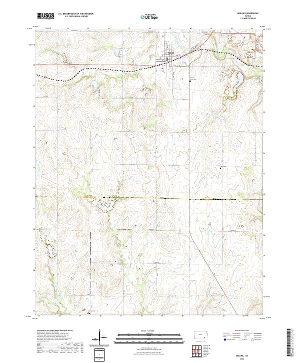
Moline serves as the primary hub of this landscape, situated at the intersection of several local routes like 3rd St and Osage St. The surrounding terrain is defined by a dense network of watercourses, most notably the winding paths of Wildcat Creek and its various tributaries, including South Fork Wildcat Creek and the N Fork Wildcat Cr. To the west of the town center, Santa Fe Lake provides a notable landmark within the drainage basin of Wildcat Cr.
Find a feature on this map
39 named features on this map. Tap any name to fly to it.
Don’t see what you’re looking for? This feature index may not catch every label — zoom into the map to look around manually.
Map Details
Date Portrayed2022
Date Published2022
PublisherU.S. Geological Survey
Map TypeTopographic
Scale1:24000
Physical Dimensions24 x 29 inches
Editions of this 2022 Moline Map
This is the sole edition of this map. No revisions or reprints were ever made.
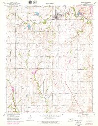
Historical Maps of Moline Through Time
Featured Locations
Source Details
SourceU.S. Geological Survey
CopyrightPublic Domain