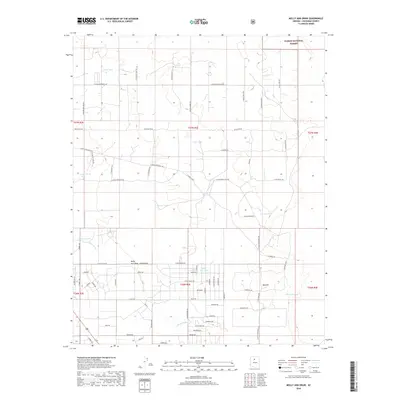
2018 Map of Molly Ann Draw
USGS Topo · Published 2018About this map
Kaibab National Forest dominates the northern reaches of this high-altitude Coconino County landscape, where the arid environment is defined by a dense network of water-management features. The eponymous Molly Ann Draw and Miller Wash snake through the southern half of the quadrangle, punctuated by numerous localized reservoirs such as Burro Tank, Osborne Tank, and Fifteen Tank. These tanks, essential for ranching and wildlife in the Arizona high country, are connected by an intricate grid of rural access roads like E Woodland Ranch Rd and N Red Butte Rd.
Find a feature on this map
80 named features on this map. Tap any name to fly to it.
Don’t see what you’re looking for? This feature index may not catch every label — zoom into the map to look around manually.
Map Details
Editions of this 2018 Molly Ann Draw Map
This is the sole edition of this map. No revisions or reprints were ever made.
Other maps of this area

1886 · San Francisco Mtns
USGS Topo · 1:250,000

1886 · Chino
USGS Topo · 1:250,000

1891 · San Francisco Mtns
USGS Topo · 1:250,000

1891 · Chino
USGS Topo · 1:250,000

1894 · San Francisco Mtns
USGS Topo · 1:250,000

1899 · San Francisco Mtns
USGS Topo · 1:250,000

1947 · Flagstaff
USGS Topo · 1:250,000

1948 · Williams
USGS Topo · 1:250,000

1954 · Flagstaff
USGS Topo · 1:250,000

1954 · Williams
USGS Topo · 1:250,000