2023 Map of Monmouth Junction
USGS Topo · Published 2023About this map
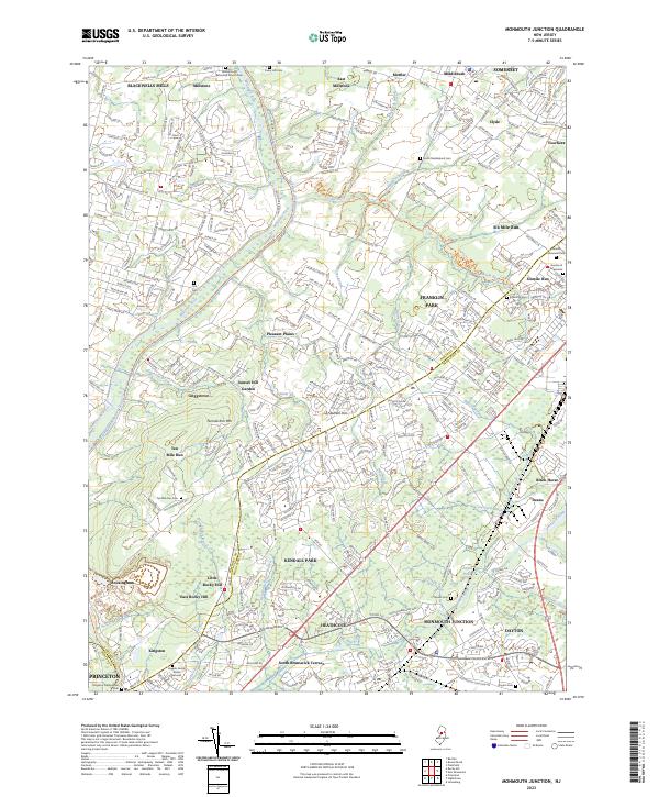
The Millstone River and the historic Delaware and Raritan Canal corridor anchor this portion of the New Jersey landscape, marking the transition between Somerset and Middlesex counties. Long-established settlements like Blackwells Mills, Griggstown, and East Millstone follow the waterway, reflecting an era when the canal was a primary artery for regional transport. Further east, the suburban growth of Monmouth Junction and Kendall Park contrasts with the wooded elevations of Tenmile Run Mtn. Genealogists and local historians can find numerous burial sites across the quadrangle, ranging from the Higgins Family Burial Ground near Kingston to the Hillsborough Reformed Church Cem in the north. The area's hydrology is complex, with several tributaries like Sixmile Run and Lawrence Brook carving through the terrain near landmarks like Bunker Hill.
Find a feature on this map
74 named features on this map. Tap any name to fly to it.
Don’t see what you’re looking for? This feature index may not catch every label — zoom into the map to look around manually.
Map Details
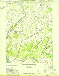
Editions of this 2023 Monmouth Junction Map
This is the sole edition of this map. No revisions or reprints were ever made.
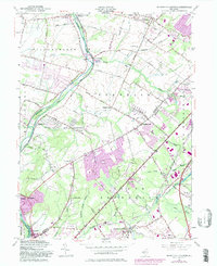
Historical Maps of Montgomery Township Through Time
3 maps found
Featured Locations
- South Brunswick, NJ
- North Brunswick Township, NJ
- Franklin Township, NJ
- Hillsborough Township, NJ
- Montgomery Township, NJ