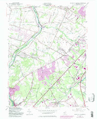
1954 Map of Monmouth Junction
USGS Topo · Published 1982About this map
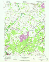
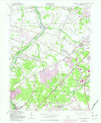
The Delaware and Raritan Canal follows the winding course of the Millstone River through a landscape transitioning from agrarian roots to suburban development. This 1954 revision, updated with 1981 purple-tinted aerial data, shows the emergence of residential clusters like Kendall Park alongside older crossroads such as Blackwells Mills and Franklin Park. The map preserves important regional history, noting the site of the Washington Headquarters near Rockingham and numerous historic burial grounds including Ten Mile Run Cem and Cedar Hill Cem.
Find a feature on this map
71 named features on this map. Tap any name to fly to it.
Don’t see what you’re looking for? This feature index may not catch every label — zoom into the map to look around manually.
Map Details
Editions of this 1954 Monmouth Junction Map
6 editions found
Other maps of this area

1888 · Plainfield
USGS Topo · 1:62,500

1888 · New Brunswick
USGS Topo · 1:62,500

1888 · Princeton
USGS Topo · 1:62,500

1891 · Somerville
USGS Topo · 1:62,500

1893 · New Brunswick
USGS Topo · 1:62,500

1893 · Plainfield
USGS Topo · 1:62,500

1893 · Somerville
USGS Topo · 1:62,500

1894 · Princeton
USGS Topo · 1:62,500

1898 · Plainfield
USGS Topo · 1:62,500

1898 · Somerville
USGS Topo · 1:62,500
Featured Places
- Franklin Township, NJ
- South Brunswick, NJ
- North Brunswick Township, NJ
- Hillsborough Township, NJ
- Montgomery Township, NJ