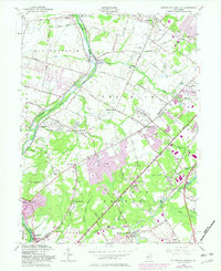
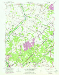
1954 Map of Monmouth Junction
USGS Topo · Published 1982About this map
The Delaware and Raritan Canal and Millstone River define the western corridor of this mid-century landscape, tracing a historic transportation route that shaped the development of Somerset Co and Middlesex Co. This 1954 edition, updated with 1981 revisions, documents a period of significant suburban expansion in communities like Kendall Park and Franklin Park, where new residential blocks appear in purple tint against a backdrop of older agrarian and industrial sites.
Find a feature on this map
70 named features on this map. Tap any name to fly to it.
Don’t see what you’re looking for? This feature index may not catch every label — zoom into the map to look around manually.
Map Details
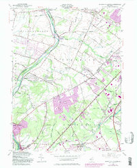
Editions of this 1954 Monmouth Junction Map
6 editions found
Other maps of this area

1888 · Plainfield
USGS Topo · 1:62,500

1888 · New Brunswick
USGS Topo · 1:62,500

1888 · Princeton
USGS Topo · 1:62,500

1891 · Somerville
USGS Topo · 1:62,500

1893 · New Brunswick
USGS Topo · 1:62,500

1893 · Plainfield
USGS Topo · 1:62,500

1893 · Somerville
USGS Topo · 1:62,500

1894 · Princeton
USGS Topo · 1:62,500

1898 · Plainfield
USGS Topo · 1:62,500

1898 · Somerville
USGS Topo · 1:62,500
Featured Places
- Franklin Township, NJ
- South Brunswick, NJ
- North Brunswick Township, NJ
- Hillsborough Township, NJ
- Montgomery Township, NJ