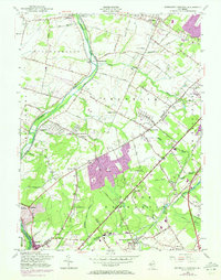
1954 Map of Monmouth Junction
USGS Topo · Published 1972About this map
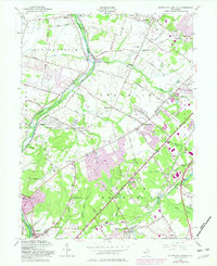
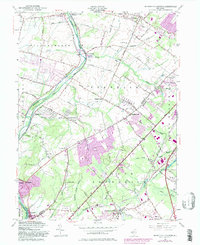
Delaware and Raritan Canal and the Millstone River form the western spine of this mid-century landscape, tracing a historic transportation corridor through Somerset and Middlesex counties. The map records a transition from traditional village centers like Griggstown and Kingston to early suburban expansions, most notably the residential blocks of Kendall Park and Franklin Park. Historical interest is anchored by Washington Headquarters at Rockingham, situated near the southern boundary. The inland territory is defined by a dense network of watercourses, including Sixmile Run and Tenmile Run, and the rail infrastructure of the Pennsylvania Railroad at Monmouth Junction. Significant green space and agricultural land remain, evidenced by Pigeon Swamp and various family-named cemeteries such as Cedar Hill Cem and South Middlebush Cem, providing a detailed look at the region before late-20th-century development.
Find a feature on this map
71 named features on this map. Tap any name to fly to it.
Don’t see what you’re looking for? This feature index may not catch every label — zoom into the map to look around manually.
Map Details
Editions of this 1954 Monmouth Junction Map
6 editions found
Other maps of this area

1888 · Plainfield
USGS Topo · 1:62,500

1888 · New Brunswick
USGS Topo · 1:62,500

1888 · Princeton
USGS Topo · 1:62,500

1891 · Somerville
USGS Topo · 1:62,500

1893 · New Brunswick
USGS Topo · 1:62,500

1893 · Plainfield
USGS Topo · 1:62,500

1893 · Somerville
USGS Topo · 1:62,500

1894 · Princeton
USGS Topo · 1:62,500

1898 · Plainfield
USGS Topo · 1:62,500

1898 · Somerville
USGS Topo · 1:62,500
Featured Places
- Franklin Township, NJ
- South Brunswick, NJ
- North Brunswick Township, NJ
- Hillsborough Township, NJ
- Montgomery Township, NJ