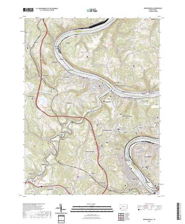
2023 Map of Monongahela
USGS Topo · Published 2023About this map
Monongahela River geography dominates this area of Washington County, curving past steep riverfront hills and industrial settlements like New Eagle and Donora. The landscape reflects a legacy of high-density river valley development, where communities such as East Monongahela, Black Diamond, and Gallatin cling to the banks below Wrath Ridge. While the higher elevations are marked by narrow roads like Coal Bluff Rd and Warren Hill RD, the valley floors are congested with the infrastructure of transport and memory. For genealogists, the map is remarkably dense with burial grounds, ranging from large institutional sites like Monongahela Cem and Saint Mary's Cem to small family plots including Taylor Cem, the Pangburn Family Cem, and the Fisher Family Cem. This clustering of numerous cemeteries along the CSX Transportation corridor underscores the generational ties and industrial history of the Pennsylvania river towns.
Find a feature on this map
226 named features on this map. Tap any name to fly to it.
Don’t see what you’re looking for? This feature index may not catch every label — zoom into the map to look around manually.
Map Details
Editions of this 2023 Monongahela Map
This is the sole edition of this map. No revisions or reprints were ever made.
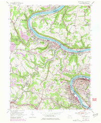
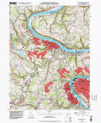
Historical Maps of Rostraver Township Through Time
3 maps found