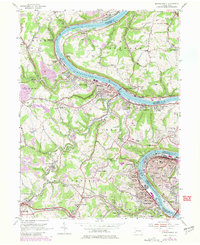
1954 Map of Monongahela
USGS Topo · Published 1979About this map
The Monongahela River carves a deep industrial valley through this landscape, serving as the primary corridor for the Pittsburgh and Lake Erie and Conrail railroads. During the mid-century era, this reach of the river was a dense network of industrial towns and coal-related infrastructure, from the ship-loading points at Shire Oaks and Bunola to the urban centers of Monongahela and Monessen.
Find a feature on this map
103 named features on this map. Tap any name to fly to it.
Don’t see what you’re looking for? This feature index may not catch every label — zoom into the map to look around manually.
Map Details
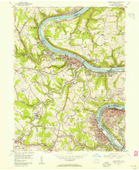
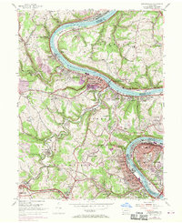
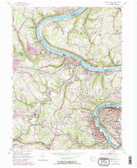
Editions of this 1954 Monongahela Map
4 editions found
Other maps of this area

1901 · Amity
USGS Topo · 1:62,500

1902 · Brownsville
USGS Topo · 1:62,500

1904 · Amity
USGS Topo · 1:62,500

1904 · Mc Keesport
USGS Topo · 1:62,500

1904 · Carnegie
USGS Topo · 1:62,500

1906 · Brownsville
USGS Topo · 1:62,500

1906 · Carnegie
USGS Topo · 1:62,500

1907 · Pittsburg
USGS Topo · 1:62,500

1908 · Carnegie
USGS Topo · 1:62,500

1931 · Brownsville
USGS Topo · 1:62,500