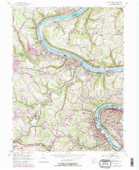
1954 Map of Monongahela
USGS Topo · Published 1979About this map
The Monongahela River carves a deep valley through this industrial landscape, where steel-town density meets the rural coal heights of Washington County. Industrial centers like Monessen and Charleroi line the riverbanks, their grids tightly packed with schools such as the Vocational High Sch and numerous ethnic parishes including St Nicholas Ch and St Spyridon Ch. This mid-century view captures the region's height of rail-dependent manufacturing, with the Conrail lines hugging the water to serve the many towns and works.
Find a feature on this map
102 named features on this map. Tap any name to fly to it.
Don’t see what you’re looking for? This feature index may not catch every label — zoom into the map to look around manually.
Map Details
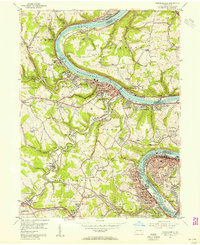
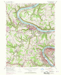
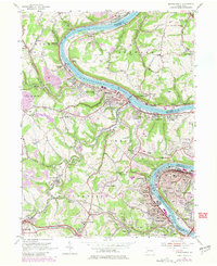
Editions of this 1954 Monongahela Map
4 editions found
Other maps of this area

1901 · Amity
USGS Topo · 1:62,500

1902 · Brownsville
USGS Topo · 1:62,500

1904 · Amity
USGS Topo · 1:62,500

1904 · Mc Keesport
USGS Topo · 1:62,500

1904 · Carnegie
USGS Topo · 1:62,500

1906 · Brownsville
USGS Topo · 1:62,500

1906 · Carnegie
USGS Topo · 1:62,500

1907 · Pittsburg
USGS Topo · 1:62,500

1908 · Carnegie
USGS Topo · 1:62,500

1931 · Brownsville
USGS Topo · 1:62,500