2022 Map of Monroe
USGS Topo · Published 2022About this map
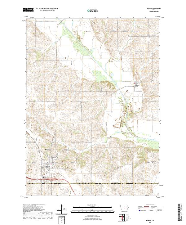
Monroe serves as the primary hub of this Jasper County landscape, where the grid of city streets like E Washington St and Republic Ave W transitions into the productive agricultural acreage of central Iowa. The drainage of the South Skunk River and its many tributaries, including Buck Cr and Carson Cr, has shaped the local topography and placement of rural roads. Genealogists will find several burial sites preserved across the townships, such as Seay Cem and Gifford Cem near the town center, and Fairview Cem to the east. Northward, the settlement of Reasnor sits near the river's bend, while the landscape is dotted with distinct water features like Wire Lake and the meandering Warren Grove Cr. The map captures the enduring rural character of the region, defined by a network of well-maintained county roads and small-town centers.
Find a feature on this map
53 named features on this map. Tap any name to fly to it.
Don’t see what you’re looking for? This feature index may not catch every label — zoom into the map to look around manually.
Map Details
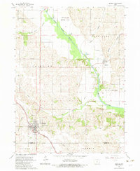
Editions of this 2022 Monroe Map
This is the sole edition of this map. No revisions or reprints were ever made.
Historical Maps of Palo Alto Township Through Time
Featured Locations
- Mound Prairie Township, IA
- Elk Creek Township, IA
- Fairview Township, IA
- Reasnor, Palo Alto Township
- Monroe, Fairview Township