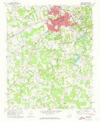
1971 Map of Monroe
USGS Topo · Published 1973About this map
The growing city of Monroe serves as the hub of this Piedmont landscape, shown at a time of significant expansion along the Seaboard Coast Line corridor. The red-tinted urban area includes critical civic landmarks like the Union Hospital, the Armory, and the Filtration Plant, while peripheral neighborhoods like Benton Heights show established community roots through the Benton Heights School and Hillcrest Cemetery.
Find a feature on this map
44 named features on this map. Tap any name to fly to it.
Don’t see what you’re looking for? This feature index may not catch every label — zoom into the map to look around manually.
Map Details
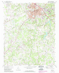
Editions of this 1971 Monroe Map
2 editions found
Other maps of this area

1941 · Charlotte
USGS Topo · 1:125,000

1941 · Spartanburg
USGS Topo · 1:250,000

1942 · Charlotte
USGS Topo · 1:125,000

1953 · Spartanburg
USGS Topo · 1:250,000

1953 · Charlotte
USGS Topo · 1:250,000

1954 · Charlotte
USGS Topo · 1:250,000

1960 · Charlotte
USGS Topo · 1:250,000

1960 · Spartanburg
USGS Topo · 1:250,000

1962 · Charlotte
USGS Topo · 1:250,000

1963 · Spartanburg
USGS Topo · 1:250,000