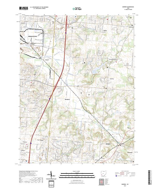
2023 Map of Monroe
USGS Topo · Published 2023About this map
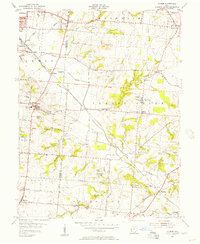
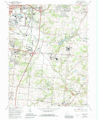
The Butler and Warren County line bisects this region of Ohio, where burgeoning suburban developments meet established agricultural tracts and aviation history. Monroe and Mason anchor the southern half of the sheet, while the northern reaches include the edge of Middletown and the settlement of Blue Ball. The landscape is etched by a dense network of waterways like Shaker Creek, Harmon Run, and Little Muddy Creek, which have historically dictated the placement of early homesteads and cemeteries.
Find a feature on this map
67 named features on this map. Tap any name to fly to it.
Don’t see what you’re looking for? This feature index may not catch every label — zoom into the map to look around manually.
Map Details
Editions of this 2023 Monroe Map
This is the sole edition of this map. No revisions or reprints were ever made.