2023 Map of Monroeville
USGS Topo · Published 2023About this map
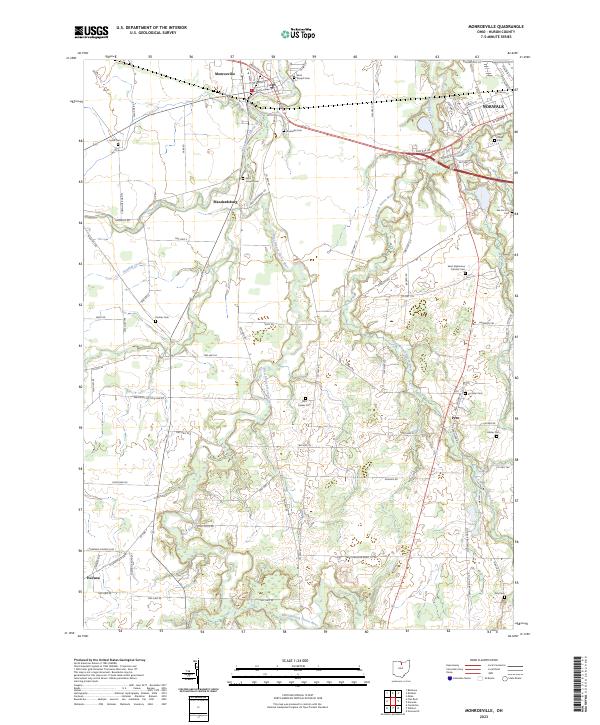
Monroeville and the surrounding Huron County landscape are defined by the winding course of the West Branch Huron River and the East Branch Huron River. This modern survey illustrates the enduring agricultural and small-town character of the region, where rural hamlets like Peru and Havana persist alongside the expanding western edge of Norwalk. The drainage patterns of Frink Run and Sandhill Creek cut through the farmland, dictating the placement of early road networks such as Peru Olena Rd and Dogtown Rd. A significant concentration of historical burial sites, including the Axe Factory Cem and Saint Alphonsus Catholic Cem, provides essential points of interest for genealogists tracing the early Catholic and pioneer families who settled this portion of the Firelands.
Find a feature on this map
60 named features on this map. Tap any name to fly to it.
Don’t see what you’re looking for? This feature index may not catch every label — zoom into the map to look around manually.
Map Details
Editions of this 2023 Monroeville Map
This is the sole edition of this map. No revisions or reprints were ever made.
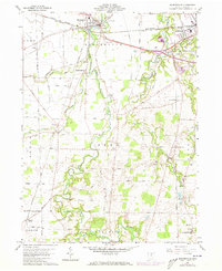
Historical Maps of Peru Through Time
Featured Locations
- Bronson Township, OH
- Greenfield Township, OH
- Norwalk, OH
- Peru, Peru Township
- Monroeville, Ridgefield Township