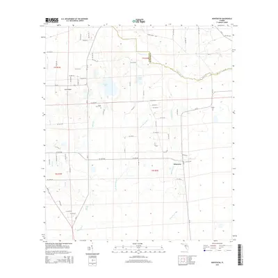
2015 Map of Monteocha
USGS Topo · Published 2015About this map
The Santa Fe River marks the northern boundary of this Alachua County landscape, flowing through a region where agricultural land meets piney wetlands. The settlement of Monteocha serves as a central hub, connected by a network of rural routes like CR-225 and NW 156th Ave. To the west, La Crosse sits near the headwaters of Rocky Creek, which drains southward through the western reaches of the quadrangle. Genealogists will find interest in localized landmarks such as Rhuda Branch Cem near the banks of Rhuda Br, and Freedom Cem further east. The map captures a transition between dry upland roads and the damp lowlands of Little Monteocha Cr and Sunshine Lake, illustrating how the hydrology of the Santa Fe basin has dictated the placement of homesteads and connector roads like Dedan Church Loop for generations.
Find a feature on this map
45 named features on this map. Tap any name to fly to it.
Don’t see what you’re looking for? This feature index may not catch every label — zoom into the map to look around manually.
Map Details
Editions of this 2015 Monteocha Map
This is the sole edition of this map. No revisions or reprints were ever made.
Other maps of this area

1890 · Arredondo
USGS Topo · 1:62,500

1892 · Arredondo
USGS Topo · 1:62,500

1894 · Arredondo
USGS Topo · 1:62,500

1938 · Hawthorn
USGS Topo · 1:48,000

1941 · Starke
USGS Topo · 1:62,500

1943 · Hawthorn
USGS Topo · 1:62,500

1948 · Starke
USGS Topo · 1:50,000

1949 · Sampson
USGS Topo · 1:24,000

1949 · Waldo
USGS Topo · 1:24,000

1949 · Starke
USGS Topo · 1:62,500