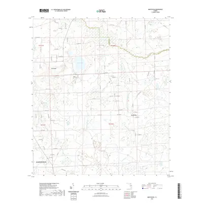
2021 Map of Monteocha
USGS Topo · Published 2021About this map
Monteocha and the rural outskirts of north Gainesville define this interior Florida landscape, where the Alachua and Bradford County line follows the winding course of the Santa Fe River. The terrain is characterized by complex hydrology, from the broad expanse of Mud Swamp in the north to the smaller basin of Sunshine Lake and the various branches of Monteocha Creek. Local heritage is preserved in sites such as the Rhuda Branch Cem and Freedom Cem, which reflect the community centers of this agricultural and wetland region. The map captures a high level of detail in the local road network, including numerous numbered routes like Co Rd 231 and Tree Farm Rd, illustrating the transition from the concentrated development in Gainesville to the smaller settlement of La Crosse.
Find a feature on this map
73 named features on this map. Tap any name to fly to it.
Don’t see what you’re looking for? This feature index may not catch every label — zoom into the map to look around manually.
Map Details
Editions of this 2021 Monteocha Map
This is the sole edition of this map. No revisions or reprints were ever made.
Other maps of this area

1890 · Arredondo
USGS Topo · 1:62,500

1892 · Arredondo
USGS Topo · 1:62,500

1894 · Arredondo
USGS Topo · 1:62,500

1938 · Hawthorn
USGS Topo · 1:48,000

1941 · Starke
USGS Topo · 1:62,500

1943 · Hawthorn
USGS Topo · 1:62,500

1948 · Starke
USGS Topo · 1:50,000

1949 · Sampson
USGS Topo · 1:24,000

1949 · Waldo
USGS Topo · 1:24,000

1949 · Starke
USGS Topo · 1:62,500