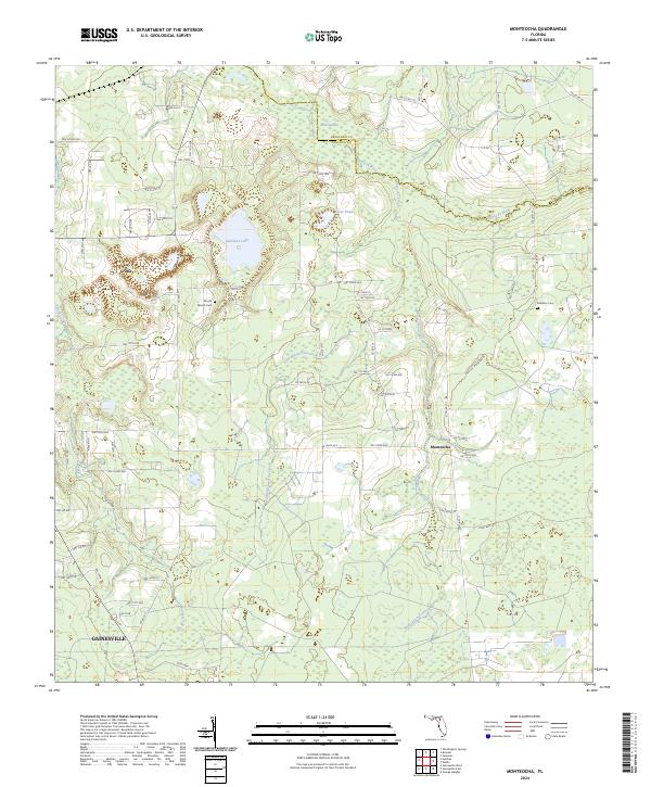
2024 Map of Monteocha
USGS Topo · Published 2024About this map
The Santa Fe River forms a natural northern boundary for this portion of North Central Florida, where the Bradford Co Alachua Co line meets. This landscape is defined by its complex hydrology, featuring large wetlands like Mud Swamp and the eponymous Monteocha Creek drainage system. The settlement of La Crosse anchors the northwestern corner, while the northern extent of Gainesville reaches into the southern portion of the quadrangle. Local history is preserved in sites like the Rhuda Branch Cem and Freedom Cem, which serve as landmarks amidst the rural road networks and the JSC CCC Woodlands. The map reveals a transition between established agricultural lands and the low-lying basins of Sunshine Lake and Trout Pond.
Find a feature on this map
74 named features on this map. Tap any name to fly to it.
Don’t see what you’re looking for? This feature index may not catch every label — zoom into the map to look around manually.
Map Details
Editions of this 2024 Monteocha Map
This is the sole edition of this map. No revisions or reprints were ever made.
Other maps of this area

1890 · Arredondo
USGS Topo · 1:62,500

1892 · Arredondo
USGS Topo · 1:62,500

1894 · Arredondo
USGS Topo · 1:62,500

1938 · Hawthorn
USGS Topo · 1:48,000

1941 · Starke
USGS Topo · 1:62,500

1943 · Hawthorn
USGS Topo · 1:62,500

1948 · Starke
USGS Topo · 1:50,000

1949 · Sampson
USGS Topo · 1:24,000

1949 · Waldo
USGS Topo · 1:24,000

1949 · Starke
USGS Topo · 1:62,500